Latest GeoComm updates

GeoComm Launches Map Converter to Accelerate the Conversion of Static Floorplans into Response Ready Indoor GIS Data
New public safety grade solution accelerates static floorplan-to-GIS conversion, helping public safety, school safety, healthcare, and critical infrastructure organizations improve situational awareness, coordination, and response readiness ST. CLOUD, Minn. – June 24, 2026 – GeoComm, leading provider of public safety grade location data and mapping solutions, today announced GeoComm Map Converter, a new solution designed to help organizations...

Drone as First Responder Programs Need Indoor Maps Too
By John Brosowsky, SVP of Innovation, and Tracy “Mac” McElvaney, Chief Product & Innovation Officer, GeoComm Bridging the Gap Between Aerial and Interior Response Drone as First Responder programs are increasingly becoming part of modern public safety operations. They can provide rapid aerial situational awareness, help agencies assess scenes sooner, and give commanders and field responders more context before personnel...

GeoComm Joins Make Our Schools Safe as 2026 Annual Partner to Help Strengthen School Emergency Response
News provided by GeoComm, Inc Jun 03, 2026, 10:31 ET Partnership connects school safety advocacy with public-safety-grade indoor mapping to help schools and first responders access critical information when every second matters. ST. CLOUD, Minn. and PARKLAND, Fla., June 3, 2026 /PRNewswire/ — GeoComm, a trusted provider of Public Safety Grade indoor mapping and location intelligence solutions,...

Oregon State Police Signs Ten-Year GIS Data Management Contract with GeoComm
GeoComm is pleased to announce their entrance into a ten-year GIS data development and management contract with the Oregon State Police (OSP) to complete a variety of GIS services in support of their Computer Aided Dispatch (CAD) system, including ongoing GIS data management services in support of both CAD and future NG9-1-1 systems.

GeoComm Providing Critical GIS Element in the State of California’s NG9-1-1 System Transformation Project through Partnership with Atos Public Safety LLC
GeoComm today announced its partnership with Atos Public Safety LLC and their contract as Prime Network Service Provider (PNSP) with the State of California to transform the state’s 9-1-1 system to a leading-edge broadband communication platform. GeoComm, in partnership with Atos, will serve as the State of California’s statewide Next Generation 9-1-1 (NG9-1-1) GIS data services provider.

National 911 Award Presented to Kansas City Area Teens
Johnson County Emergency Management & Communications joins the Mid-America Regional Council and GeoComm in congratulating the winners of the NG911 Institute’s Citizen in Action award.

El Paso – Teller County 9-1-1 Authority Achieves Improved, Dependable, and Compliant GIS Data
These three words describe the current condition of El Paso-Teller County 9-1-1 Authority's GIS data. This is a drastic change from how it would have been described in 2016.
North Texas Emergency Communications Center
The North Texas Emergency Communications Center (NTECC) formed in 2014 by the four cities they serve, the cities of Carrollton, Coppell, Farmers Branch and the Town of Addison. The NTECC provides a high level of police, fire, and EMS services to the 250,000 residents and visitors they serve.
Customer Feature: Denco Area 9-1-1 District
The Denco Area 9-1-1 District (Denco) is an emergency communication district in Texas that utilizes multiple GeoComm software solutions to overcome their unique GIS data obstacles and empower themselves with tools that simplify the completion of their daily GIS processes.
State of North Carolina Selects GeoComm for Next Generation 9-1-1 GIS Project
GeoComm is excited to announce being selected by the North Carolina 911 Board for a Next Generation 9-1-1 GIS Project, aimed at preparing the state for a NG9-1-1 system implementation.
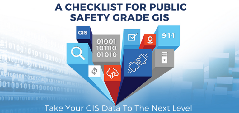
GeoComm Develops Public Safety Grade GIS Checklist Based on Industry and NENA Documentation
Consistent and accurate GIS data is at the core of the NG9-1-1 call routing process which will require agencies to achieve public safety grade GIS data in the near future. GeoComm is pleased to share a checklist developed for helping public safety and GIS professionals prepare themselves and take their GIS data to the next level needed in an NG9-1-1 system.

RapidDeploy Announces Lightning Partner Program to Create End-to-End Cloud Safety Ecosystem
RapidDeploy, the leader in Cloud Aided Dispatch software for emergency communications centers, announces the launch of its Lightning Partner Program. The Program creates an integrated end-to-end ecosystem of visionary technology partners who believe in democratizing public safety utilizing cloud native technology. The solutions, integrated across Microsoft’s Azure Government cloud, will provide a comprehensive platform for public safety agencies.
