Safer communities with indoor maps

Bixby
Pickens
Iowa
Denco 9-1-1
Concho Valley
LaVille
North Fond du Lac
San Felipe Del Rio

Elevate Your Indoor Safety with Unparalleled Precision

Designed to enhance operational efficiency and response capabilities.
critical incident map information

Unify Collaboration

Instantly deliver consistent visuals to all corresponding agencies, ensuring cohesive collaboration for more effective responses.


assessing critical incident map

Enhance Awareness

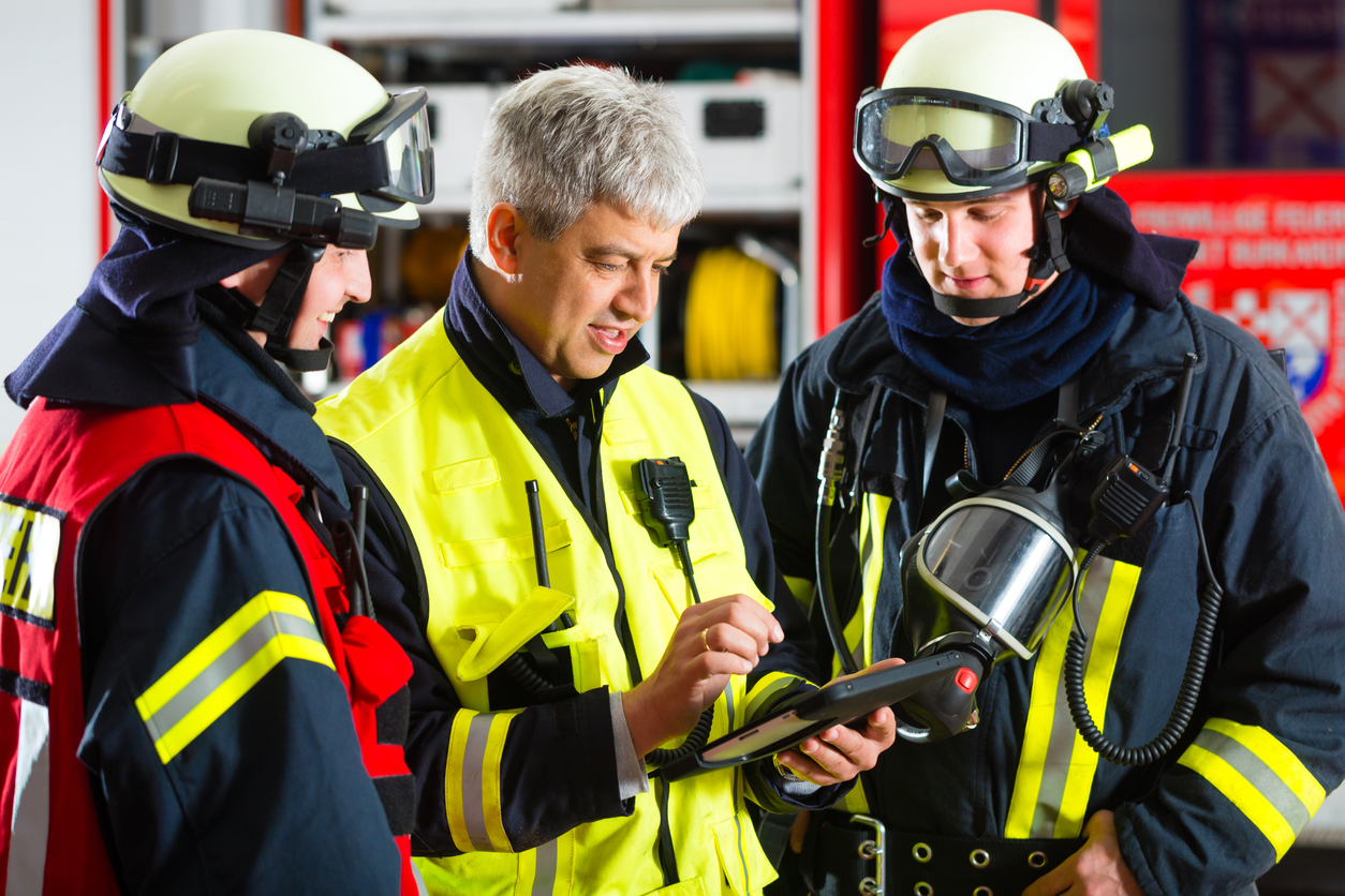
Enable smarter, faster decisions during critical moments by giving first responders a comprehensive interactive view of your indoor environment.
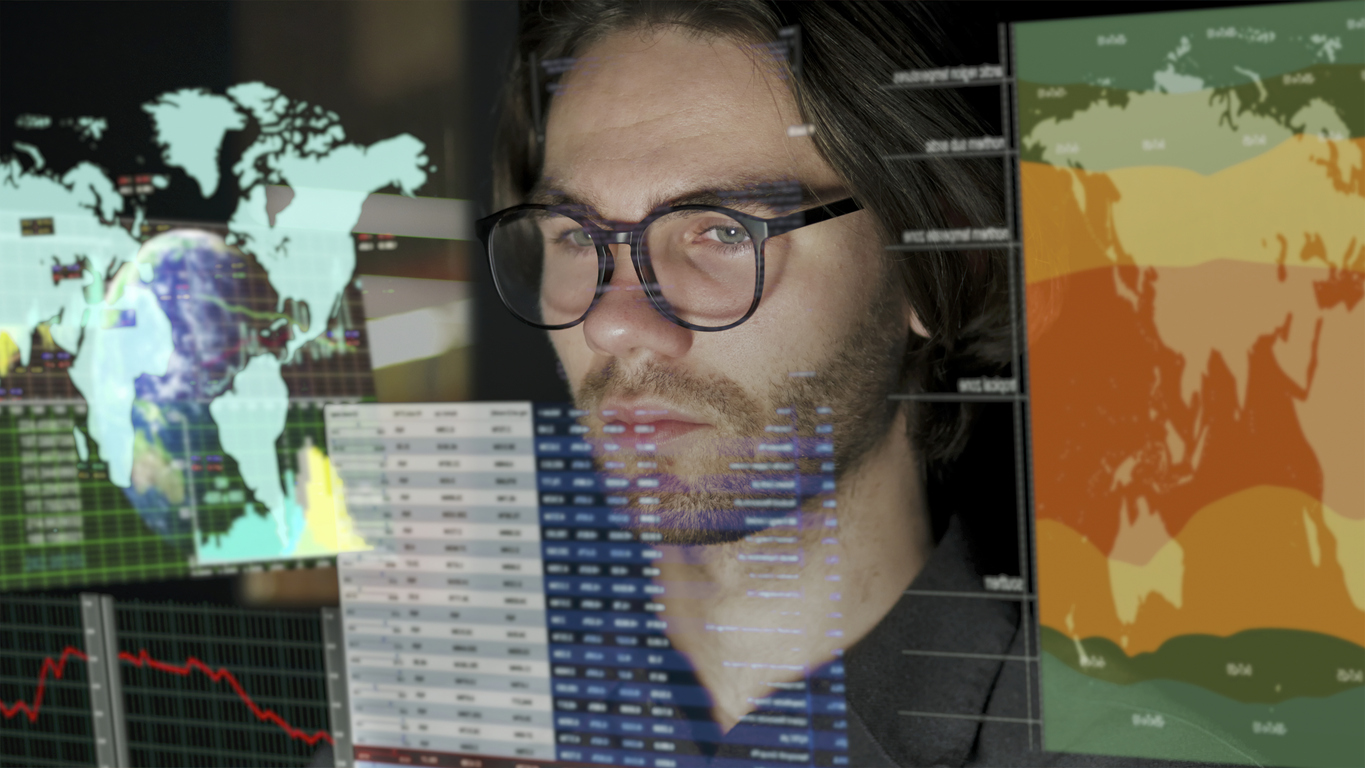
looking at critical incident map data

Leverage GIS Data

GIS data enables dynamic search, creating interactive, scalable indoor maps with personalized points of interest, 3D visualization, and more.
wrapper-deco-left-raw
wrapper-deco-right-raw

Not All Maps are Created Equal

Visualize every detail with clarity.
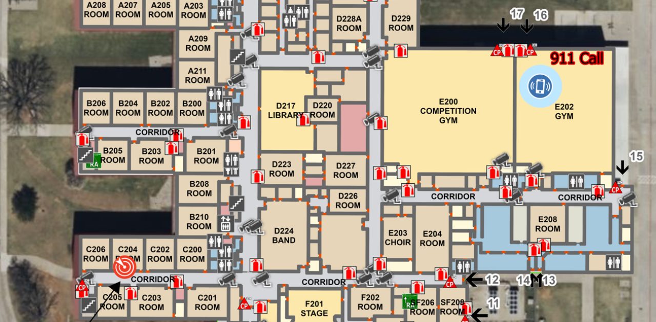
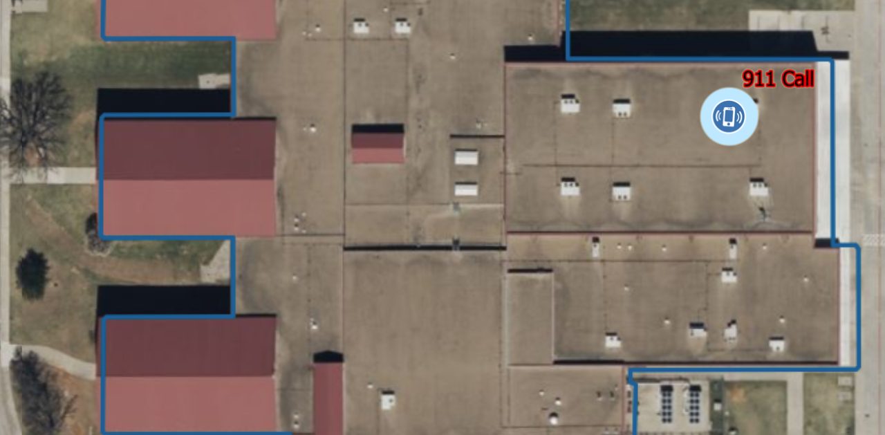
critical incident map by GeoComm critical incident map with little information

“Our prior mapping process was tiring and manual, but GeoComm has made updating and distributing maps easy to use and visualize.”

Brad Reinke
Brad Reinke
North Fond du Lac School District – Assistant Principal & Safety Coordinator

“GeoComm provides a service that will continually make your schools safer when it comes to First Responders coming to your facilities to better protect your students and staff.”

Kevin Kubsch
Kevin Kubsch
Union North United School Corporation at Lakeville, Indiana – Director of Safety & Student Services

Interactive and User-Friendly

Indoor safety maps create an exceptional indoor experience that is responsive and flexible for your needs. These highly visual, data-rich maps adapt well to both technical and non-technical users.
  • Searchable points of interest Instantly identify and locate rooms, exits, water lines, AEDs, and more – all at your fingertips.
  • Visual clarity Zoom in and out of any 2D or 3D map component while maintaining a high-level of detail and clarity.
  • Scalable for any space Suitable for simple or complex, multi-layered environments and flexible enough to dynamically grow with any update.

Collaborate without Barriers

GIS-based indoor maps provide superior functionality, integration, and accuracy making them the preferred choice for any indoor environment.
  • Data integration and collaboration Whether its emergency response teams, facility managers, or government agencies, instantly provide updates and visibility for all users.
  • Powerful search capability Pinpoint and share views of specific rooms or interest points directly among teams to enable more coordinated actions.
  • Customize every detail Customize points of interest, safety routes, and utilities with multi-layered data, focusing only on what matters.

Start Building Response Ready Maps Today

Enable your agency with modern visualizations to enhance situational awareness and collaboration among emergency responders.

Resources

Why School Safety is Built Before a Crisis

By Rose Bentley, Chief Operating Officer, GeoComm Last week, I stood inside an elementary school in Georgia and watched a community put months of preparation into practice. In that moment, our work felt very different than lines on a screen, GIS data, or a completed project. It became real. The school was Harmony Elementary. Earlier…

AI Needs GIS

By John Brosowsky, SVP of Innovation, GeoComm Artificial intelligence is rapidly reshaping PSAP operations. From handling non-emergency calls to enabling real-time 9-1-1 transcription, translation, keyword detection, and call taker assistance, AI is becoming an integral part of modern emergency communications. But AI is not inherently intelligent; it identifies patterns and relationships within the information it has been trained on…

GeoComm and geoConvergence Announce Partnership to Support the Future of Indoor Mapping

Partnership highlights the increasing role of accurate indoor maps, GIS data, and public safety grade location intelligence in emergency response, school safety, and facility operations. ST. CLOUD, Minn., July 10, 2026 /PRNewswire/ — GeoComm, the nation’s leader in public safety grade location intelligence, today announced a new partnership with geoConvergence, a GIS consulting firm based in Bloomington, Indiana….