


Work Smarter, Collaborate Better, and Save Time
A suite of solutions and services focused on reducing complexity, improving efficiency, and ensuring the highest standards in GIS data.
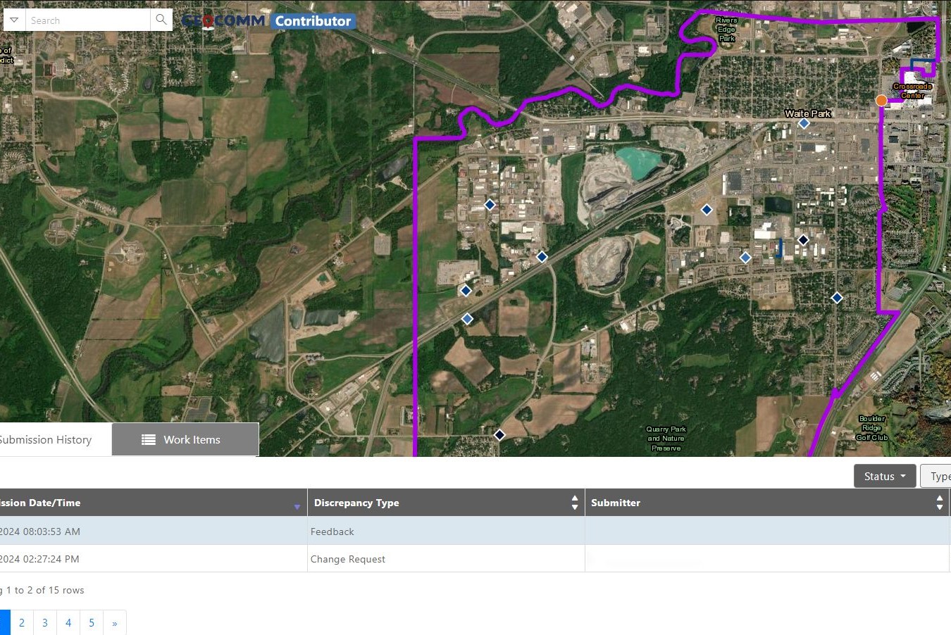
Reduce the complexity of GIS data management with seamless accuracy, quality control checks, and more.
Easily navigate your GIS data, whether you’re a beginner or expert.
From hosting to seamless updates, we fully manage and integrate your GIS data.
From one-time services to ongoing maintenance, we bring your GIS data to the forefront.


“Thanks to GeoComm, we’ve transformed our GIS data to meet NG911 standards, achieving over 99% accuracy statewide.”
“With GeoComm GIS Data Hub, we have complete clarity on what is missing with our address points, road centerlines, and service boundaries.”
Essential Data – Extraordinary Results
Identify and correct errors quickly, keeping your emergency response operations running smoothly.
- Enhanced Data Accuracy
- Simplified Data Management
- Reduced Time and Effort

Data You Won’t Find Anywhere Else
Discover the impact of GeoComm’s GIS Data Management solutions on your community.
Resources

GeoComm and geoConvergence Announce Partnership to Support the Future of Indoor Mapping
Partnership highlights the increasing role of accurate indoor maps, GIS data, and public safety grade location intelligence in emergency response, school safety, and facility operations. ST. CLOUD, Minn., July 10, 2026 /PRNewswire/ — GeoComm, the nation’s leader in public safety grade location intelligence, today announced a new partnership with geoConvergence, a GIS consulting firm based in Bloomington, Indiana….

FCC’s NG9-1-1 Reliability and Interoperability Initiative: Why It Matters and What it Means for GIS and Location Data
The Federal Communications Commission’s ongoing efforts to strengthen Next Generation 9-1-1 (NG9-1-1) reliability and interoperability represent an important step toward ensuring that emergency communications systems can meet the needs of communities across the United States. As NG9-1-1 deployments continue to expand, the industry’s focus must extend beyond simply connecting networks. True interoperability requires consistent, reliable, and trusted location data and maps that…

GeoComm Launches Map Converter to Accelerate the Conversion of Static Floorplans into Response Ready Indoor GIS Data
New public safety grade solution accelerates static floorplan-to-GIS conversion, helping public safety, school safety, healthcare, and critical infrastructure organizations improve situational awareness, coordination, and response readiness ST. CLOUD, Minn. – June 24, 2026 – GeoComm, leading provider of public safety grade location data and mapping solutions, today announced GeoComm Map Converter, a new solution designed to help organizations…