


Benefits of Being a Partner
Do more with GeoComm.
- Accelerate your business Create differentiated solutions and services that build market share.
- Co-selling Let's partner to drive demand and deliver comprehensive solutions.
- Client success Build value and help solve critical challenges across our communities.


Grow Your Business With Us
Indoor Safety
Indoor Safety
- Unify agency collaboration Deliver consistent visuals to all agencies.
- Enhance situational awareness Interactive details enable smarter, faster decisions.
- Highly visual, data-rich maps Personalized based on your unique needs.
Become a GeoComm Partner
The GeoComm partner network represents a diverse range of industry-leading companies with complementary technologies, solutions and services.
Partner Resources
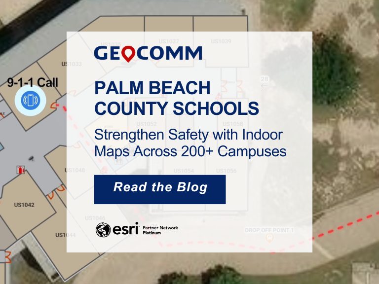
Palm Beach County Schools Strengthen Safety with Indoor Maps Across 200+ Campuses
Ensuring safety across a large school district requires more than traditional emergency plans. For the Palm Beach County School District, the tenth-largest school district in the United States, protecting students and staff means preparing for emergencies across hundreds of campuses and thousands of buildings. To strengthen situational awareness and emergency response, the district partnered with GeoComm to implement a…
GeoComm and Unknot.id Partner to Deliver Advanced Indoor Location Intelligence for Public Safety and Enterprise Environments
ST. CLOUD, Minn. and ORLANDO, Fla., April 14, 2026 – GeoComm and Unknot.id have partnered to bring public-safety-grade indoor location capabilities to public safety and enterprise environments where reliable, highly accurate maps and indoor positioning are mission critical. By extending trusted location awareness indoors, the partnership helps responders and facility teams navigate complex buildings more…
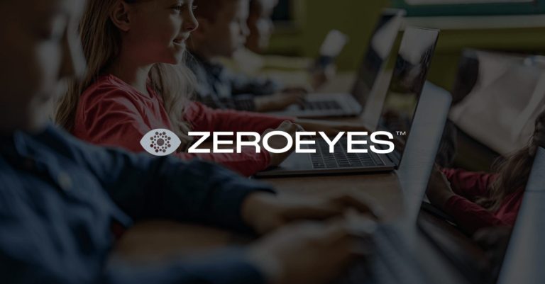
ZeroEyes and GeoComm Partner to Enhance Iowa School Safety with Advanced AI Gun Detection and Intelligent Mapping
ZeroEyes, the creators of the only AI-based gun detection video analytics platform that holds the US Department of Homeland Security Safety Act Designation, and GeoComm, the provider of locally authoritative indoor and outdoor Geographic Information Systems (GIS), today announced a technology integration partnership to enhance emergency response and school safety. This collaboration merges ZeroEyes' AI gun detection and situational awareness software with GeoComm's comprehensive indoor mapping solutions to provide real-time, actionable intelligence to any Iowa K-12 schools.