Build with GeoComm
Discover partnership opportunities to enhance business growth and technical collaboration.
- Accelerate your business
- Marketing and enablement
- Client success
Resources
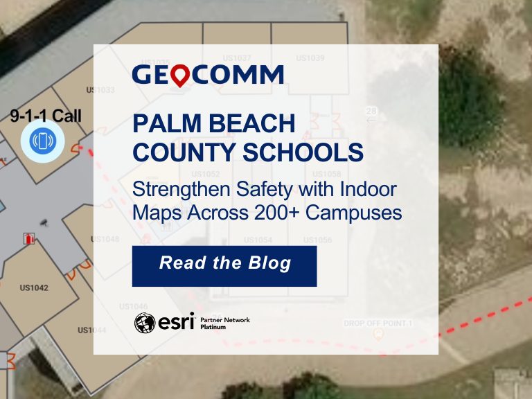
Palm Beach County Schools Strengthen Safety with Indoor Maps Across 200+ Campuses
Ensuring safety across a large school district requires more than traditional emergency plans. For the Palm Beach County School District, the tenth-largest school district in the United States, protecting students and staff means preparing for emergencies across hundreds of campuses and thousands of buildings. To strengthen situational awareness and emergency response, the district partnered with GeoComm to implement a…

GeoComm and Unknot.id Partner to Deliver Advanced Indoor Location Intelligence for Public Safety and Enterprise Environments
ST. CLOUD, Minn. and ORLANDO, Fla., April 14, 2026 – GeoComm and Unknot.id have partnered to bring public-safety-grade indoor location capabilities to public safety and enterprise environments where reliable, highly accurate maps and indoor positioning are mission critical. By extending trusted location awareness indoors, the partnership helps responders and facility teams navigate complex buildings more…
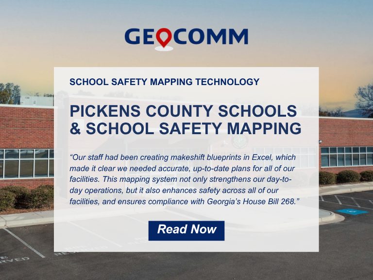
Pickens County School District Strengthens School Safety with GeoComm’s Interactive Indoor Mapping Solution
Pickens County, GA, April 2, 2026: Pickens County School District has taken a major step forward in enhancing school safety by implementing GeoComm’s School Safety mapping solution. Serving approximately 4,000 students across eight campuses, the school district partnered with GeoComm to map over 875,000 square feet of indoor space. The project was completed in just…