Latest GeoComm updates

AI Needs GIS
By John Brosowsky, SVP of Innovation, GeoComm Artificial intelligence is rapidly reshaping PSAP operations. From handling non-emergency calls to enabling real-time 9-1-1 transcription, translation, keyword detection, and call taker assistance, AI is becoming an integral part of modern emergency communications. But AI is not inherently intelligent; it identifies patterns and relationships within the information it has been trained on...

GeoComm and geoConvergence Announce Partnership to Support the Future of Indoor Mapping
Partnership highlights the increasing role of accurate indoor maps, GIS data, and public safety grade location intelligence in emergency response, school safety, and facility operations. ST. CLOUD, Minn., July 10, 2026 /PRNewswire/ — GeoComm, the nation’s leader in public safety grade location intelligence, today announced a new partnership with geoConvergence, a GIS consulting firm based in Bloomington, Indiana....

GeoComm Launches Map Converter to Accelerate the Conversion of Static Floorplans into Response Ready Indoor GIS Data
New public safety grade solution accelerates static floorplan-to-GIS conversion, helping public safety, school safety, healthcare, and critical infrastructure organizations improve situational awareness, coordination, and response readiness ST. CLOUD, Minn. – June 24, 2026 – GeoComm, leading provider of public safety grade location data and mapping solutions, today announced GeoComm Map Converter, a new solution designed to help organizations...
AI Needs GIS
By John Brosowsky, SVP of Innovation, GeoComm Artificial intelligence is rapidly reshaping PSAP operations. From handling non-emergency calls to enabling real-time 9-1-1 transcription, translation, keyword detection, and call taker assistance, AI is becoming an integral part of modern emergency communications. But AI is not inherently intelligent; it identifies patterns and relationships within the information it has been trained on...

FCC’s NG9-1-1 Reliability and Interoperability Initiative: Why It Matters and What it Means for GIS and Location Data
The Federal Communications Commission’s ongoing efforts to strengthen Next Generation 9-1-1 (NG9-1-1) reliability and interoperability represent an important step toward ensuring that emergency communications systems can meet the needs of communities across the United States. As NG9-1-1 deployments continue to expand, the industry’s focus must extend beyond simply connecting networks. True interoperability requires consistent, reliable, and trusted location data and maps that...

Drone as First Responder Programs Need Indoor Maps Too
By John Brosowsky, SVP of Innovation, and Tracy “Mac” McElvaney, Chief Product & Innovation Officer, GeoComm Bridging the Gap Between Aerial and Interior Response Drone as First Responder programs are increasingly becoming part of modern public safety operations. They can provide rapid aerial situational awareness, help agencies assess scenes sooner, and give commanders and field responders more context before personnel...

How New Mexico Strengthened Emergency Response with Public Safety Grade GIS Data
Ensuring Accurate Location Data Across 100+ Local Governments. Overview In New Mexico, a largely rural state with vast geographic areas and limited emergency resources, even small GIS data errors can have life-threatening consequences. With more than 100 local government agencies contributing GIS data and over 40 Public Safety Answering Points (PSAPs) relying on that data...
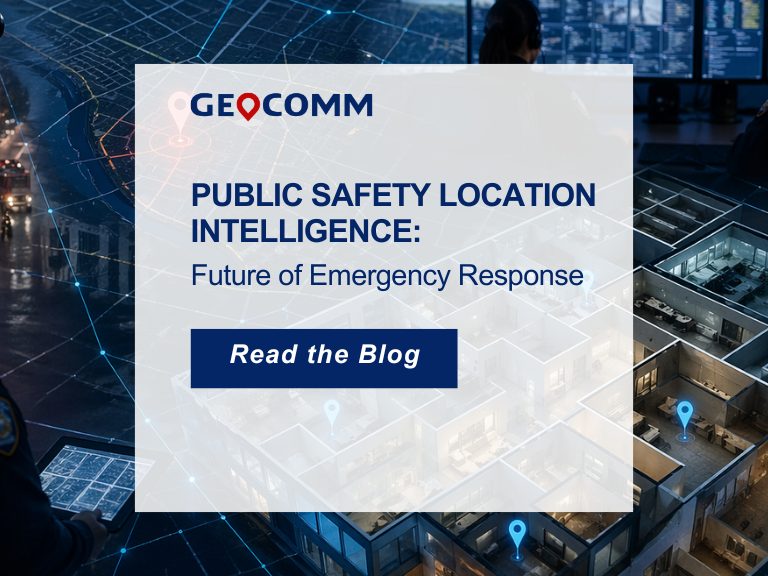
Public Safety Location Intelligence: The Future of Emergency Response
Public safety location intelligence is becoming the foundation of modern emergency response. As 9-1-1 centers, law enforcement agencies, schools, and emergency response teams adopt new technologies like indoor mapping, artificial intelligence, drones as first responders, and real-time situational awareness platforms, one thing remains essential: accurate, trusted location data. Without it, even the most advanced public...
2026 Texas DIR Contract and Pricing
GeoComm, a leading provider of geographic information and communication systems, has been awarded a Texas Department of Information Resources (DIR) contract DIR-CPO-4499 for GeoComm’s public safety software.
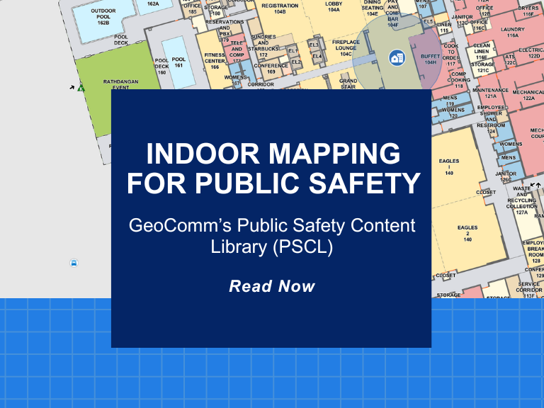
Indoor Mapping for Public Safety: GeoComm’s Public Safety Content Library (PSCL)
At GeoComm, innovation meets impact. A great example of this is our groundbreaking Public Safety Content Library (PSCL). Designed to revolutionize how 9-1-1 telecommunicators, dispatchers, and emergency responders can access and use critical indoor mapping during emergencies to reduce response times, PSCL is a secure, cloud-based indoor map data warehouse purpose-built for public safety. What...
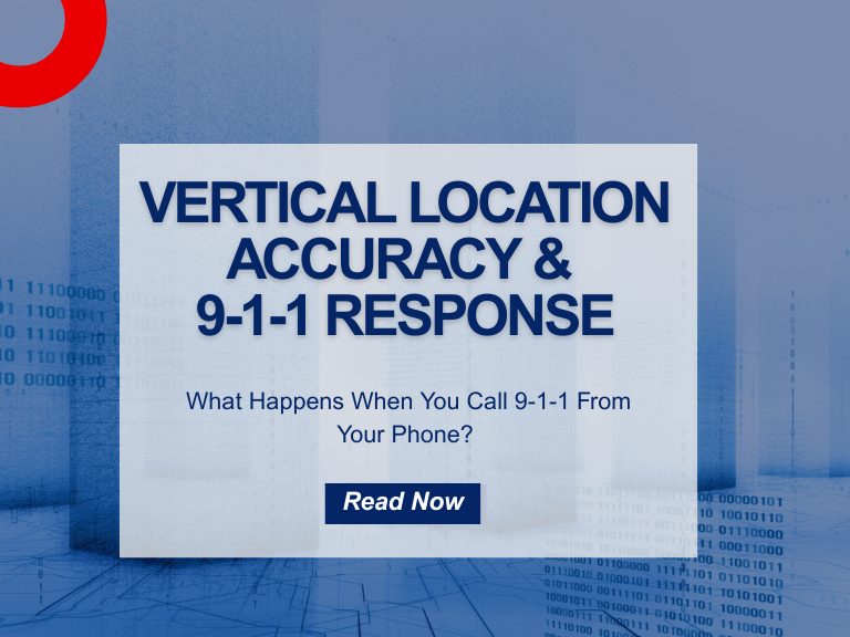
How 9-1-1 Vertical Location Accuracy Is Transforming 9-1-1 Response
What happens when you call 911 from your mobile phone inside a multi-story building? Accurate 9-1-1 vertical location accuracy becomes the difference between a rapid rescue and a costly delay. Until recently, unless you or others could verbally tell emergency responders what floor you were on, it was very difficult for them to find you quickly. ...
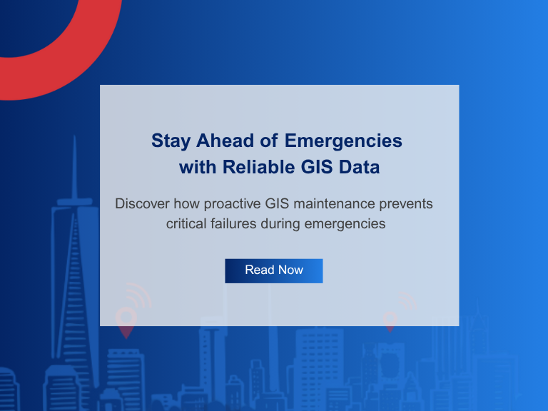
Don’t Wait for Data to Break: Manage Your GIS Data Proactively
Benjamin Franklin once observed, “Failing to plan is planning to fail.” While the origin of this quote is debated, its relevance remains indisputable—especially in the world of public safety. When it comes to 9-1-1 GIS data management, the message is clear: waiting for problems to appear before addressing them can have serious, even life-threatening, consequences. ...