Latest GeoComm updates
AI Needs GIS
By John Brosowsky, SVP of Innovation, GeoComm Artificial intelligence is rapidly reshaping PSAP operations. From handling non-emergency calls to enabling real-time 9-1-1 transcription, translation, keyword detection, and call taker assistance, AI is becoming an integral part of modern emergency communications. But AI is not inherently intelligent; it identifies patterns and relationships within the information it has been trained on...

GeoComm and geoConvergence Announce Partnership to Support the Future of Indoor Mapping
Partnership highlights the increasing role of accurate indoor maps, GIS data, and public safety grade location intelligence in emergency response, school safety, and facility operations. ST. CLOUD, Minn., July 10, 2026 /PRNewswire/ — GeoComm, the nation’s leader in public safety grade location intelligence, today announced a new partnership with geoConvergence, a GIS consulting firm based in Bloomington, Indiana....

GeoComm Launches Map Converter to Accelerate the Conversion of Static Floorplans into Response Ready Indoor GIS Data
New public safety grade solution accelerates static floorplan-to-GIS conversion, helping public safety, school safety, healthcare, and critical infrastructure organizations improve situational awareness, coordination, and response readiness ST. CLOUD, Minn. – June 24, 2026 – GeoComm, leading provider of public safety grade location data and mapping solutions, today announced GeoComm Map Converter, a new solution designed to help organizations...
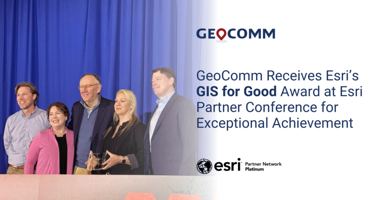
GeoComm Receives Esri’s GIS for Good Award at Esri Partner Conference for Exceptional Achievement
GeoComm received Esri’s GIS is for Good award at the 2024 Esri Partner Conference (EPC) held March 10–11, 2024 in Palm Springs, California. This award was presented to GeoComm for compelling use of Esri technology to make an impact on current issues around the world, such as sustainable development, climate change, diversity and social equity, and humanitarian aid.
GeoComm and RapidSOS Empower Emergency Communications Centers with Indoor Maps Creating Enhanced Emergency Response Location Information
GeoComm, provider of Public Safety Location Intelligence®, and RapidSOS, creator of the world’s first intelligent safety platform, are excited to announce the integration of GeoComm Indoor Maps into RapidSOS premium.
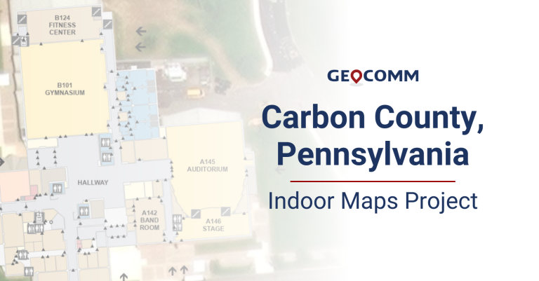
Carbon County 9-1-1 Indoor Maps Project
The Carbon County Pennsylvania Communications Center recently partnered with GeoComm to create GIS-based indoor maps for buildings throughout their county. These indoor maps would be valuable and vital pieces of information for their dispatchers and first responders to aid in improving situational awareness and decreasing response times. Carbon County Communications Center dispatchers access their indoor maps in RapidSOS Portal, provided by GeoComm partner RapidSOS.
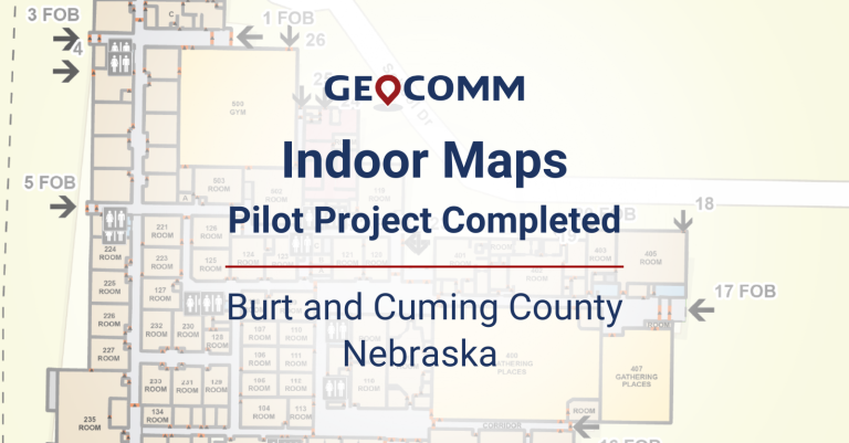
Indoor Maps Pilot Project Completed in Burt and Cuming County, Nebraska
GeoComm, provider of Public Safety Location Intelligence®, has completed a pilot project with the Burt County Sheriff’s Office and Cuming County E911 Dispatch in Nebraska to integrate GIS-based indoor maps for one school in each county into their GeoComm Dispatch Map software.
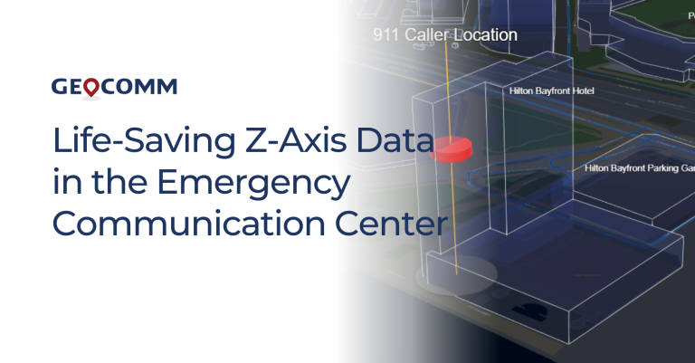
Life-Saving Z-Axis Data in the Emergency Communication Center
When a 9-1-1 call is placed, the caller’s location is a primary piece of information that dispatchers need to deploy emergency response personnel. Where is the caller located? What do their surroundings look like? Could something about that location be an obstacle or even hazardous to first responders?
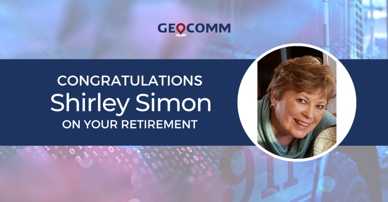
Congratulations Shirley Simon on your Retirement
GeoComm would like to congratulate our Contract Manager, Shirley Simon, on her retirement. Thank you for over 20 years of service at GeoComm. We asked Shirley to reflect on her time here at GeoComm and these are her thoughts.
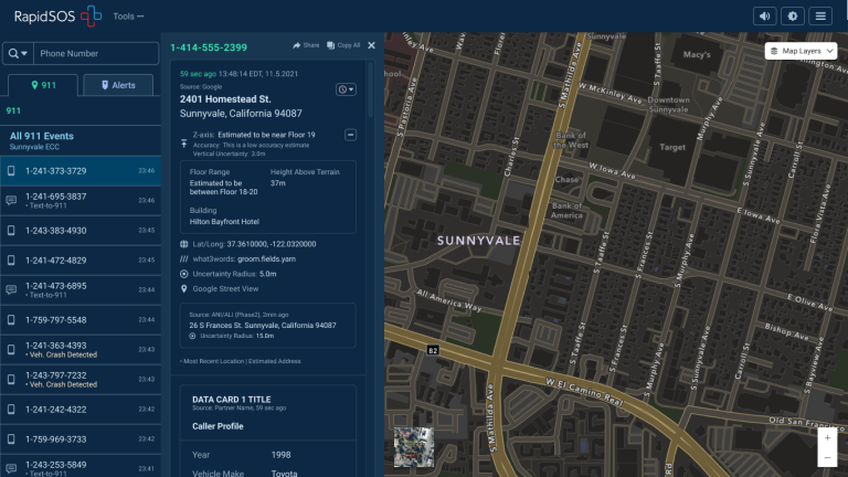
Z-Axis Location Information – The Next Frontier of Public Safety Location Intelligence®
What is z-axis and how does it improve in public safety emergency response? Many Emergency Communications Centers (ECCs) have started to notice that raw z-axis information is now available to them, but what should be done with that information and how can it be made actionable?
Customer Profile: North Platte, Nebraska
The North Platte, Nebraska Police Department serves as the Emergency Communications Center (ECC) for Lincoln County and the City of Gothenburg in Dawson County, serving a population of over 38,000 people and receiving over 15,000 9-1-1 calls each year.
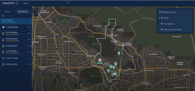
The Value of Locally Authoritative GIS Data in RapidSOS Premium
What is locally authoritative GIS data and why is it valuable in public safety emergency response? This is a question many people have and one Deb Rozeboom, GeoComm’s Product Manager for GIS Services, had the opportunity to present on this fall at the RapidSOS Ready22 Conference. Deb also overviewed GeoComm’s partnership with RapidSOS to support the locally authoritative GIS data being utilized by RapidSOS Premium customers.
