Indoor Maps Pilot Project Completed in Burt and Cuming County, Nebraska
St. Cloud, MN: GeoComm, provider of Public Safety Location Intelligence®, has completed a pilot project with the Burt County Sheriff’s Office and Cuming County E911 Dispatch in Nebraska to integrate GIS-based indoor maps for one school in each county into their GeoComm Dispatch Map software.
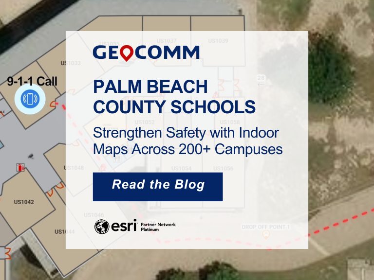
GIS-based indoor maps allow telecommunicators to search, view, and filter out underlying data within the map for user-friendly views. These maps can also route first responders to specific locations indoors to reduce emergency response times.
These newly developed indoor maps will be viewable in GeoComm Dispatch Map. GeoComm Dispatch Map is powered by Esri technology and designed to meet stringent and demanding requirements of mission critical emergency response GIS. This software brings mapping and GIS data together to provide your agency with a more accurate and faster emergency response.
“Thank you for including West Point Public Schools in this project!” said D.J. Weddle, Superintendent. “I feel that this is a very worthwhile initiative.”
“We are proud to partner with two of our long-standing customers (Burt and Cuming Counties) on this important initiative to enhance school safety and reduce emergency response times.” said Stacen Gross, GeoComm’s Nebraska Territory Manager. “It is exciting to show the power of GIS-based indoor maps.”
The State of Nebraska introduced Nebraska LB673; this bill proposes to provide grants to schools that adopt a policy to provide emergency response mapping data to law enforcement agencies and provide powers and duties for the State Department of Education and State Board of Education.
About GeoComm
GeoComm, provider of Public Safety Location Intelligence®, has a national reputation as a leading provider of public safety GIS systems. These systems route emergency calls to the appropriate 9-1-1 call center, map the caller’s location on a call taker or dispatcher map, and guide emergency responders to the scene of the accident on mobile displays within police, fire, and ambulance vehicles. Over the last 28 years, GeoComm has grown to serve local, regional, statewide, and military agencies in forty-nine states, helping keep more than 100 million people safe. Through the years our statewide NG9-1-1 GIS project footprint has expanded to include seventeen statewide projects across the country. More recently, GeoComm’s innovative solutions are enhancing emergency response situational awareness by empowering emergency responders with a visual representation of indoor spaces for key buildings in their response areas and by converting raw z-axis position measurements into a dispatchable location. To learn more about GeoComm and our Public Safety Location Intelligence offerings, visit www.geocomm.com.