Latest GeoComm updates
AI Needs GIS
By John Brosowsky, SVP of Innovation, GeoComm Artificial intelligence is rapidly reshaping PSAP operations. From handling non-emergency calls to enabling real-time 9-1-1 transcription, translation, keyword detection, and call taker assistance, AI is becoming an integral part of modern emergency communications. But AI is not inherently intelligent; it identifies patterns and relationships within the information it has been trained on...

GeoComm and geoConvergence Announce Partnership to Support the Future of Indoor Mapping
Partnership highlights the increasing role of accurate indoor maps, GIS data, and public safety grade location intelligence in emergency response, school safety, and facility operations. ST. CLOUD, Minn., July 10, 2026 /PRNewswire/ — GeoComm, the nation’s leader in public safety grade location intelligence, today announced a new partnership with geoConvergence, a GIS consulting firm based in Bloomington, Indiana....

GeoComm Launches Map Converter to Accelerate the Conversion of Static Floorplans into Response Ready Indoor GIS Data
New public safety grade solution accelerates static floorplan-to-GIS conversion, helping public safety, school safety, healthcare, and critical infrastructure organizations improve situational awareness, coordination, and response readiness ST. CLOUD, Minn. – June 24, 2026 – GeoComm, leading provider of public safety grade location data and mapping solutions, today announced GeoComm Map Converter, a new solution designed to help organizations...
Public Safety Grade GIS Data is Critical for Public Safety Emergency Response Systems
GIS data plays a key role accurate emergency response it important for 9-1-1 to implement Public Safety Grade GIS data. These mission critical life safety systems and applications rely on GIS data to drive emergency response - helping to save lives and protect property. This GIS data must be highly accurate, highly secure, highly available, up-to-date, and commonly accessible to all mission critical life safety applications across 9-1-1 and public safety organizations.
2021 GIS Day
Today, in honor of 2021 GIS Day, we want to share some interesting facts about our team of dedicated GIS professionals. We appreciate our team working their hardest each day utilizing GIS technology and their GIS expertise to help our customers and thank all of the GIS professionals out there who use the power of GIS to improve lives.

Public Safety Grade GIS Data is the Foundation of Public Safety Location Intelligence®
With Geographic Information Systems (GIS) data playing a key role across E9-1-1, NG9-1-1, ECC and responder tactical mapping systems and applications, and now indoor and vertical 9-1-1 caller location, it has become an imperative for 9-1-1 to implement Public Safety Grade GIS data. These mission critical life safety systems and applications rely on GIS data to drive emergency response - helping to save lives and protect property. This GIS data must be highly accurate, highly secure, highly available, up-to-date, and commonly accessible to all mission critical life safety applications across 9-1-1 and public safety organizations.

Superior Software Maintenance with Cloud-Native Public Safety Applications
As an administrator of your agency's public safety information technology infrastructure, you are responsible for coordinating minimal impact updates on your critical software applications. This can sometimes require careful planning and scheduling due to the time-sensitive updates and software patches which need immediate attention. What if you could eliminate the interruption and get these enhancements to users sooner? Cloud-native applications to the rescue.

Webinar Recap: Embarking on your NG9-1-1 GIS Migration
On Friday, March 5, 2021, GeoComm hosted a webinar titled, “Embarking on your NG9-1-1 GIS Migration.” GeoComm’s Jessica Frye, ENP, GIS Project manager and Kathy Liljequist, GIS Consultant offered attendees the opportunity to learn more about critical GIS data maintenance workflow decisions that 9-1-1 and GIS departments face as they embark on the NG9-1-1 GIS migration.

2020 Year in Review
2020 was a year that changed the world, creating unique and stressful situations for everyone. We know frontline workers faced many additional obstacles throughout the uncertain time, and we remain grateful for their ongoing commitment and dedication to helping the communities they serve.
Radcliff Kentucky Police Department Completes GIS Data Assessment and Improvement Project
In 2020 GeoComm worked with the Radcliff Kentucky Police Department, to review the current state of the GIS data being used being utilized at their ECC. This project utilized GeoComm’s proven assess, improve, maintain approach for achieving public safety grade GIS data, ensuring its accuracy for routing emergency response through their CAD system.
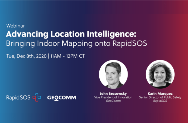
Webinar Recap: Advancing Location Intelligence: Accessing Indoor Maps from RapidSOS Portal
On Tuesday, December 8th, 2020, GeoComm and RapidSOS hosted a webinar titled Advancing Location Intelligence: Accessing Indoor Maps from RapidSOS Portal. GeoComm's John Brosowsky, Vice President of Innovation and RapidSOS' Karin Marquez, Senior Director of Public Safety sat down to discuss: why now is the right time to equip 9-1-1 call takers and emergency responders with indoor location intelligence, the value indoor maps offer when combined with improved 9-1-1 caller location coordinates and Esri’s industry-leading mapping technology, and how to leverage location intelligence through RapidSOS Portal to create unprecedented situational awareness.

GeoComm By The Numbers
We know that in an emergency every second counts and have spent the last 25 years helping our customers save lives and protect property by providing essential, innovative, location-based solutions to public safety professionals.
