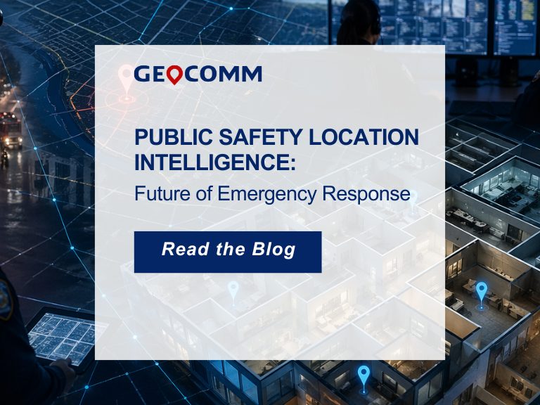
Public Safety Grade GIS Data is the Foundation of Public Safety Location Intelligence®
With Geographic Information Systems (GIS) data playing a key role across E9-1-1, NG9-1-1, ECC and responder tactical mapping systems and applications, and now indoor and vertical 9-1-1 caller location, it has become an imperative for 9-1-1 to implement Public Safety Grade GIS data. These mission critical life safety systems and applications rely on GIS data to drive emergency response – helping to save lives and protect property. This GIS data must be highly accurate, highly secure, highly available, up-to-date, and commonly accessible to all mission critical life safety applications across 9-1-1 and public safety organizations.
Standardized Public Safety Grade GIS data delivered to 9-1-1 and public safety systems across your organization is the foundational component of providing Public Safety Location Intelligence and enables the greatest degree of success in routing 9-1-1 calls, locating emergency incidents, and dispatching responders to the scene.
While the 9-1-1 industry is aware of the mission critical role of GIS in NG9-1-1, new pressures, requirements, and urgency for achieving standardized Public Safety Grade GIS data are emerging as our world increasingly becomes data driven. Today, 9-1-1 and public safety entities are facing more and more challenges related to the explosion of multiple geospatial datasets copied to many applications, users, and locations across the 9-1-1 and public safety enterprise.
Make GIS Part of the Public Safety Grade Conversation
In the publication, Defining Public Safety Grade Systems and Facilities Public Safety Communications Report, the National Public Safety Telecommunications Council (NPSTC) describes Public Safety Grade as a conceptual term referring to the expectation of the 9-1-1 and emergency response industries that equipment and systems have been designed with security, reliability, resiliency, redundancy, and diversity in mind. There is also the expectation that equipment and systems must remain fully operational during regular daily operations along with major natural or manmade disasters on a local, regional, and even nationwide basis. GIS must be part of this conversation and must meet the same expectations.
“We frequently work with customers on their goal of achieving current, consistent, and validated GIS data and discuss how this is a foundational step to realizing the full potential of a 9-1-1 system when it is powered by Public Safety Grade GIS. Ultimately, utilizing Public Safety Grade GIS data as this foundation for Public Safety Location Intelligence also benefits 9-1-1 and GIS teams who often support multiple demands and requirements as well as utilization of different applications,” said Erik Loberg, GeoComm Vice President of Public Safety GIS Applications.
GIS often serves many needs across a state and local government enterprise, many of which are not mission critical or life safety-related such as planning and zoning, tax and cadastral mapping, and natural resources mapping and monitoring. As a result, local GIS systems have emerged to meet the requirements of those non-Public Safety Grade applications. Those systems are then often utilized to provide data to public safety applications without first being analyzed and if necessary, strengthened to meet Public Safety Grade requirements. The outcome is often a proliferation of copied file-based GIS data, such as shapefiles and geodatabases, unprotected and unsecure, that are widely dispersed across an organization. In the worst-case scenarios, 9-1-1 call takers, dispatchers, and responders are all looking at different map versions, out-of-date maps, or no maps at all when they need them. Public Safety Grade GIS data works to solve these problems and provides the geospatial truth that all 9-1-1 and public safety users across an enterprise can rely on when life is on the line.
Public Safety Grade GIS Data Transforms Emergency Communications and Response
Public Safety Grade GIS solutions supply quality, highly secure, highly available, and accessible data to the end user and can have tremendous impact on improving response times, providing actionable location intelligence, and routing 9-1-1 calls.
There are also major benefits for the ECC and responders. Supplying GIS data to E9-1-1, NG9-1-1, ECC, and responder tactical mapping systems and applications that has been scrutinized for quality and useable during every 9-1-1 emergency response.
“While standards and best practices exist to provide guidance to 9-1-1 and GIS teams, GIS has not traditionally been described as Public Safety Grade, and it really should be.” Loberg explains. “Think about it like this, GIS data that has been assessed, improved, and maintained specifically with public safety in mind can then be shared by 9-1-1 telecommunicators, first responders, and all users within a jurisdiction to ensure the highest level of accuracy in locating incidents and dispatching of resources.”