Latest GeoComm updates

GeoComm Launches Map Converter to Accelerate the Conversion of Static Floorplans into Response Ready Indoor GIS Data
New public safety grade solution accelerates static floorplan-to-GIS conversion, helping public safety, school safety, healthcare, and critical infrastructure organizations improve situational awareness, coordination, and response readiness ST. CLOUD, Minn. – June 24, 2026 – GeoComm, leading provider of public safety grade location data and mapping solutions, today announced GeoComm Map Converter, a new solution designed to help organizations...

Drone as First Responder Programs Need Indoor Maps Too
By John Brosowsky, SVP of Innovation, and Tracy “Mac” McElvaney, Chief Product & Innovation Officer, GeoComm Bridging the Gap Between Aerial and Interior Response Drone as First Responder programs are increasingly becoming part of modern public safety operations. They can provide rapid aerial situational awareness, help agencies assess scenes sooner, and give commanders and field responders more context before personnel...

GeoComm Joins Make Our Schools Safe as 2026 Annual Partner to Help Strengthen School Emergency Response
News provided by GeoComm, Inc Jun 03, 2026, 10:31 ET Partnership connects school safety advocacy with public-safety-grade indoor mapping to help schools and first responders access critical information when every second matters. ST. CLOUD, Minn. and PARKLAND, Fla., June 3, 2026 /PRNewswire/ — GeoComm, a trusted provider of Public Safety Grade indoor mapping and location intelligence solutions,...

Berkeley County, WV: Recognizing the Value of Data Management Software for Consistent and Quality GIS Data
Jeff Frye from Berkeley County West Virginia Department of Information Technology recently shared with us his experience using GeoComm Maintainer, an NG9-1-1 GIS addressing tool, to achieve high levels of accuracy and synchronization of their geospatial 9-1-1 data.
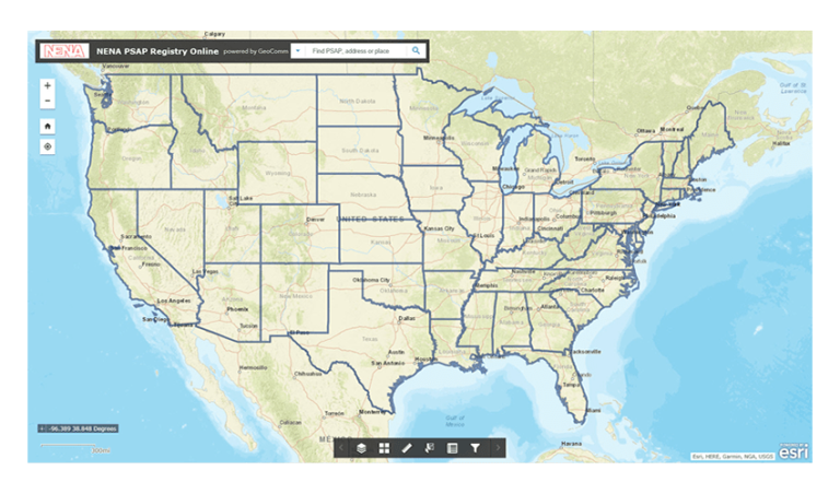
NENA: The 9-1-1 Association Develops New Database Tool to Help 9-1-1 Centers Save Lives in Partnership with GeoComm, Esri, and Uber
NENA and GeoComm are pleased to announce the development of the new Enhanced Public Safety Answering Point (PSAP) Registry and Census (EPRC), a secure web-based tool containing essential information for PSAPs throughout the United States. The NENA EPRC, made possible through a sponsorship from Uber, will replace and improve upon NENA’s current PSAP Registry, which is a basic database of the contact information for every 9-1-1 center in the nation.
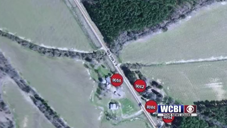
Webster County, Mississippi Selects GeoComm Dispatch Map For New Dispatch Mapping Software
When there is an emergency, time is everything. That is why 9-1-1 centers are always working to improve emergency response times. Webster County, Mississippi was working to do just that when they installed GeoComm Dispatch Map.
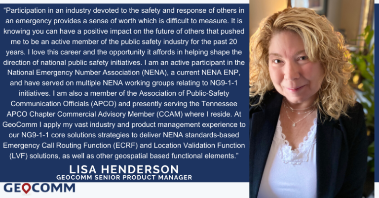
GeoComm Adds to Product Management Team, Expands Industry Leadership in Geospatial Call Routing
GeoComm is pleased to announce the addition of Lisa Henderson as the Senior Product Manager for Next Generation 9-1-1 (NG9-1-1) Core Solutions focusing specifically on the geospatial solutions needed in a NG9-1-1 Environment.

GeoComm Secures Spot on HGACBuy Contract Through 2020
GeoComm is pleased to announce their public safety GIS software and services have been accepted onto the Houston Area Council Buy (HGACBuy) contract. HGACBuy is an established contract for goods and services dedicated to helping governments across the country improve the efficiency of their procurement process.

2019 Texas DIR Contract and Pricing
GeoComm, a leading provider of geographic information and communication systems, has been awarded a Texas Department of Information Resources (DIR) contract DIR-TSO-3441 for GeoComm’s public safety software.
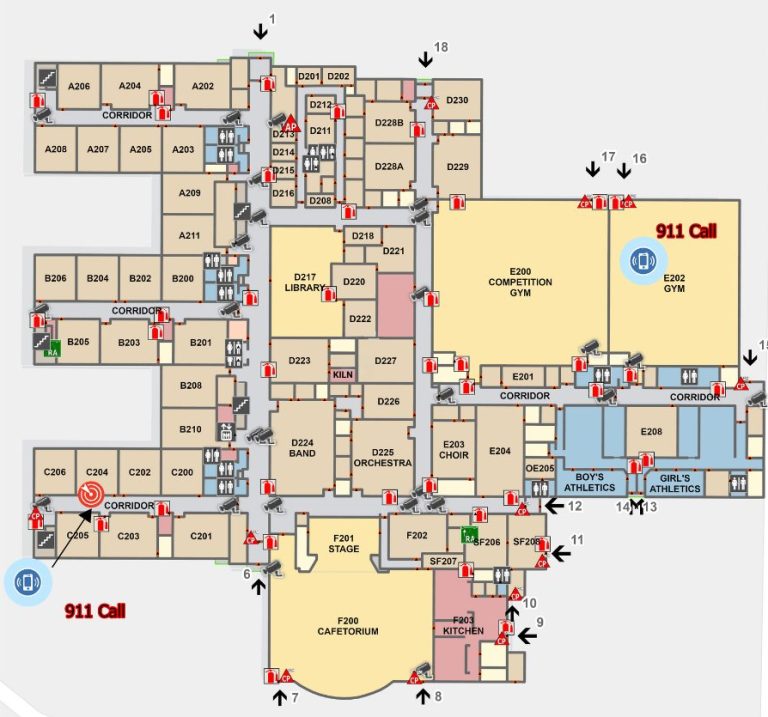
Innovation Spotlight ~ Smarter Security Provided Through Indoor Maps and Sensor Feeds
In 2017, GeoComm worked with U.S. Bank Stadium and the Minneapolis Police Department to deploy and innovative new software to be used in the ESPN XGames that provided real-time information and sensor feeds into a Common Operating Picture (COP) built around 3D and indoor maps. The system was again used in 2017 during the Twin...

Linn County, Oregon
In 2016 Linn County, Oregon began the process of upgrading their Computer Aided Dispatch (CAD) system. After being in a tabular CAD world for 28 years, the new CAD system was now map-centric, and reliant on the GIS data. This made it challenging to understand the impact GIS data would have as they moved into this new system. Not long after go-live in April 2017, it became evident that the address exceptions and accommodations built into the previous tabular CAD did not necessarily exist in the GIS date now in place, and this was causing some challenges. Linn County decided the quality of their GIS data needed to be assessed to identify and correct the issues they were seeing, and improve the GIS data in use in their new CAD system.

State of Iowa
This winter marks four years since the State of Iowa and GeoComm began working together to assess, improve, and maintain GIS data throughout the state in preparation for Next Generation 9-1-1 (NG9-1-1).
