Latest GeoComm updates

GeoComm Launches Map Converter to Accelerate the Conversion of Static Floorplans into Response Ready Indoor GIS Data
New public safety grade solution accelerates static floorplan-to-GIS conversion, helping public safety, school safety, healthcare, and critical infrastructure organizations improve situational awareness, coordination, and response readiness ST. CLOUD, Minn. – June 24, 2026 – GeoComm, leading provider of public safety grade location data and mapping solutions, today announced GeoComm Map Converter, a new solution designed to help organizations...

Drone as First Responder Programs Need Indoor Maps Too
By John Brosowsky, SVP of Innovation, and Tracy “Mac” McElvaney, Chief Product & Innovation Officer, GeoComm Bridging the Gap Between Aerial and Interior Response Drone as First Responder programs are increasingly becoming part of modern public safety operations. They can provide rapid aerial situational awareness, help agencies assess scenes sooner, and give commanders and field responders more context before personnel...

GeoComm Joins Make Our Schools Safe as 2026 Annual Partner to Help Strengthen School Emergency Response
News provided by GeoComm, Inc Jun 03, 2026, 10:31 ET Partnership connects school safety advocacy with public-safety-grade indoor mapping to help schools and first responders access critical information when every second matters. ST. CLOUD, Minn. and PARKLAND, Fla., June 3, 2026 /PRNewswire/ — GeoComm, a trusted provider of Public Safety Grade indoor mapping and location intelligence solutions,...
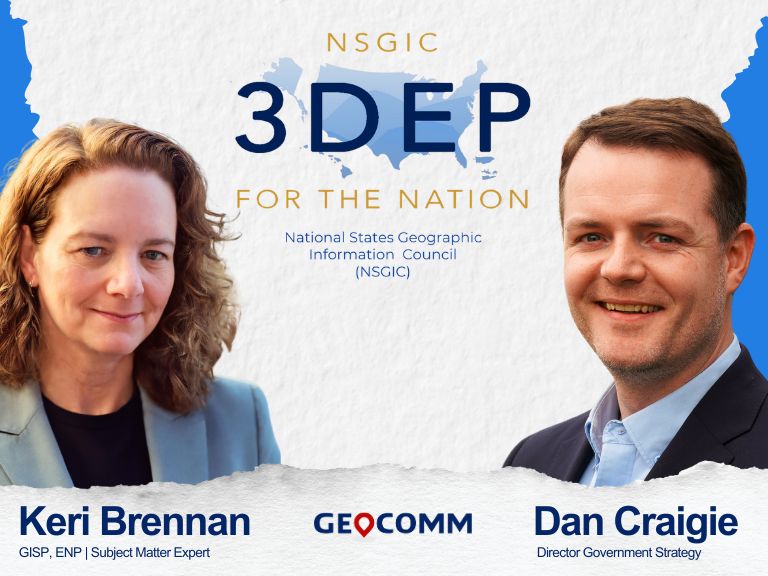
NSGIC 3DEP FTN Interest Group Meeting
March 25, 2025 GeoComm Vertical Location Services: Enhancing Emergency Response with 3D Elevation Data When every second counts, knowing where an emergency caller is located—including their vertical position—is critical for first responders. GeoComm’s Vertical Location Services leverage digital elevation models to provide precise altitude data, helping emergency teams determine the correct floor, underground level, or...
GIS-powered Critical Incident Mapping Helps Minnesota First Responders Reach a Medical Emergency Victim in Seconds
JACKSON COUNTY, Minn., March 24, 2025 /PRNewswire/ — A life-threatening medical emergency at a Jackson County high school on October 3rd, 2024 put First Responders to the test when a student suffered a medical complication in the cafeteria. Thanks to the swift response of the Jackson County Sheriff’s Department and GeoComm’s GIS-powered critical incident mapping technology, emergency personnel pinpointed the exact location within...
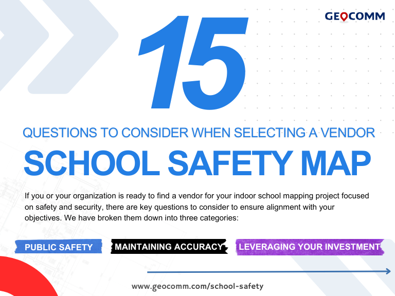
15 Must-Ask Questions to Choose the Best Critical Incident Mapping Solution for Schools
How to choose the best critical incident mapping solution When it comes to protecting students and staff, selecting the right school safety map is a decision that cannot be taken lightly. Schools must ensure that their critical incident mapping solution is more than just a visual representation of their buildings—it must be a real-time, interactive...

Critical Incident Mapping & School Safety: Ricky and Alyssa’s Law Explained
Introduction In an era where school safety is paramount, legislative measures like Alyssa’s Law and the proposed Ricky and Alyssa’s Law have been introduced to enhance security in schools. These laws focus on critical incident mapping and silent panic alert systems to improve emergency response times and coordination. How Alyssa’s Law & Ricky and Alyssa’s...
Digital Mapping: Transforming the Way We Navigate and Analyze Geographic Data
Introduction Digital mapping has revolutionized the way we visualize, analyze, and interact with geographic data. Unlike traditional paper maps, digital maps are dynamic, interactive, and easily updated, enabling users to integrate multiple data layers for better decision-making. A subset of this mapping, GIS (Geographic Information System) mapping, uses specialized software to analyze and interpret spatial...
How Digital Geographic Information System Mapping Enhances Emergency Response
Why Digital Geographic Information System Mapping Matters In an era where school safety and emergency preparedness are at the forefront of public concern, having precise, real-time, and actionable data is critical. Schools across the nation, including Minnesota, are facing increasing pressure to implement digital geographic information system mapping (GIS mapping) solutions to enhance emergency response...
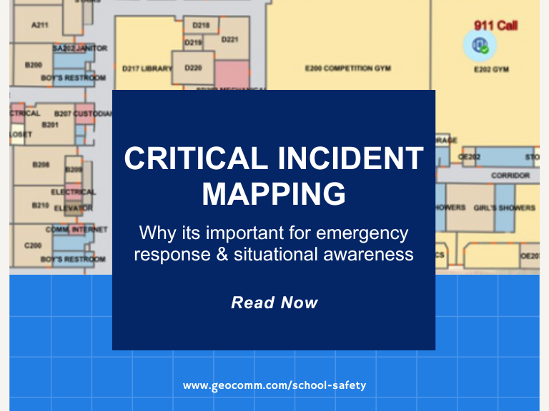
Why Critical Incident Mapping is Essential for Emergency Response
Emergencies unfold in seconds, and every moment matters. Whether it’s a school lockdown, active threat, medical emergency, or natural disaster, first responders need immediate access to accurate, real-time mapping data to make split-second decisions. This is where Critical Incident Mapping (CIM) plays a life-saving role. The Growing Need for Critical Incident Mapping As schools, businesses,...
Martin County Sheriff’s Office Launches Project to Enhance 9-1-1 Services
MARTIN COUNTY, Fla. (CBS12) — A project is underway to improve 911 emergency response services in Martin County. The Martin County Sheriff’s Office (MCSO) says that from Wednesday to February 3, deputies, including field technicians from the firm GeoComm, will visit certain Martin County homes to confirm addresses and street names. A map provided by...

GeoComm Welcomes New Chief Product and Technology Officer
GeoComm, a trusted leader in GIS-based indoor and outdoor map data management solutions, is proud to announce the appointment of Daniel Stonecipher as its new Chief Product and Technology Officer (CPTO) and key member of the executive leadership team.
