Latest GeoComm updates

GeoComm Launches Map Converter to Accelerate the Conversion of Static Floorplans into Response Ready Indoor GIS Data
New public safety grade solution accelerates static floorplan-to-GIS conversion, helping public safety, school safety, healthcare, and critical infrastructure organizations improve situational awareness, coordination, and response readiness ST. CLOUD, Minn. – June 24, 2026 – GeoComm, leading provider of public safety grade location data and mapping solutions, today announced GeoComm Map Converter, a new solution designed to help organizations...

Drone as First Responder Programs Need Indoor Maps Too
By John Brosowsky, SVP of Innovation, and Tracy “Mac” McElvaney, Chief Product & Innovation Officer, GeoComm Bridging the Gap Between Aerial and Interior Response Drone as First Responder programs are increasingly becoming part of modern public safety operations. They can provide rapid aerial situational awareness, help agencies assess scenes sooner, and give commanders and field responders more context before personnel...

GeoComm Joins Make Our Schools Safe as 2026 Annual Partner to Help Strengthen School Emergency Response
News provided by GeoComm, Inc Jun 03, 2026, 10:31 ET Partnership connects school safety advocacy with public-safety-grade indoor mapping to help schools and first responders access critical information when every second matters. ST. CLOUD, Minn. and PARKLAND, Fla., June 3, 2026 /PRNewswire/ — GeoComm, a trusted provider of Public Safety Grade indoor mapping and location intelligence solutions,...
GeoComm and RapidSOS Empower Emergency Communications Centers with Indoor Maps Creating Enhanced Emergency Response Location Information
GeoComm, provider of Public Safety Location Intelligence®, and RapidSOS, creator of the world’s first intelligent safety platform, are excited to announce the integration of GeoComm Indoor Maps into RapidSOS premium.
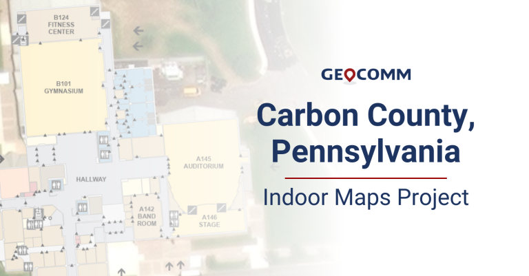
Carbon County 9-1-1 Indoor Maps Project
The Carbon County Pennsylvania Communications Center recently partnered with GeoComm to create GIS-based indoor maps for buildings throughout their county. These indoor maps would be valuable and vital pieces of information for their dispatchers and first responders to aid in improving situational awareness and decreasing response times. Carbon County Communications Center dispatchers access their indoor maps in RapidSOS Portal, provided by GeoComm partner RapidSOS.
GeoComm and RapidSOS Empower Emergency Communications Centers to Convert Raw Z-axis Location Data into Dispatchable Locations
GeoComm, provider of Public Safety Location Intelligence®, and RapidSOS, creator of the world’s first intelligent safety platform, are excited to announce that RapidSOS is offering a Floor Levels feature powered by GeoComm Vertical Location Services.
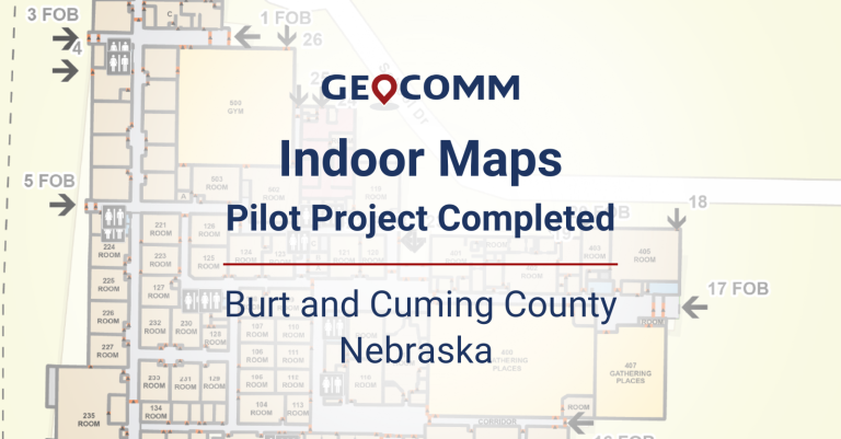
Indoor Maps Pilot Project Completed in Burt and Cuming County, Nebraska
GeoComm, provider of Public Safety Location Intelligence®, has completed a pilot project with the Burt County Sheriff’s Office and Cuming County E911 Dispatch in Nebraska to integrate GIS-based indoor maps for one school in each county into their GeoComm Dispatch Map software.

GeoComm Announces New Vice President and General Manager of Safety and Security
GeoComm, provider of Public Safety Location Intelligence®, announces a new Vice President and General Manager of Safety and Security, appointing Bill McCullough. Bill will be responsible for leading and directing safety and security solutions as we build GeoComm School Safety.

Tri-County School Safety Pilot Project
The Tri-County School Safety Pilot Project aimed to create detailed GIS indoor maps of seven pilot schools in the Tri-County area to improve response times to school incidents. The maps were shared with dispatch centers to be used in their 9-1-1 applications.

GeoComm Announces Leadership Transition to New Chief Executive Officer
GeoComm, provider of Public Safety Location Intelligence®, announces a leadership transition, appointing Jeff Liebl as GeoComm’s next President and Chief Executive Officer (CEO). Jeff succeeds John Bryant who will transition to the Chair of the GeoComm Board of Directors.
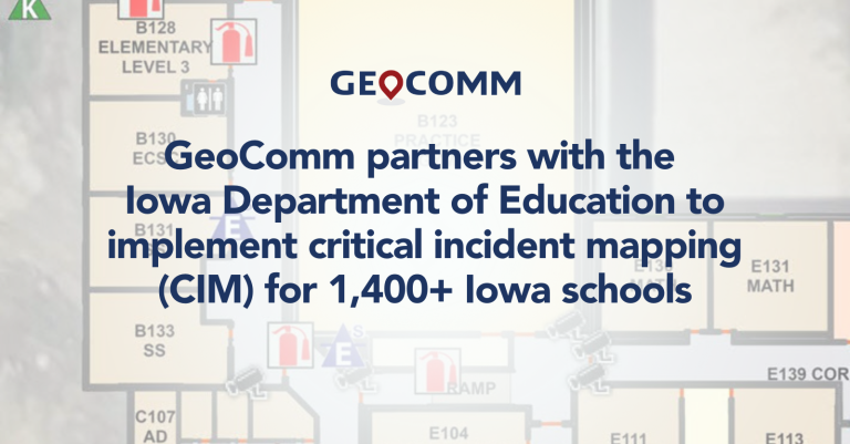
Iowa Critical Incident Mapping (CIM) Project
GeoComm School Safety is delivering the Iowa critical incident mapping (CIM) solution for planning and responding to emergencies inside schools by providing detailed indoor maps of schools and surrounding grounds.
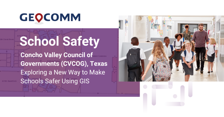
Concho Valley Council of Governments (CVCOG), Texas Exploring a New Way to Make Schools Safer Using GIS
CVCOG provides emergency communications services for approximately 16,300 square mile region in West Texas, supporting 15 Public Service Answering Points (PSAPs) within the thirteen-county region.
