Latest GeoComm updates

GeoComm Launches Map Converter to Accelerate the Conversion of Static Floorplans into Response Ready Indoor GIS Data
New public safety grade solution accelerates static floorplan-to-GIS conversion, helping public safety, school safety, healthcare, and critical infrastructure organizations improve situational awareness, coordination, and response readiness ST. CLOUD, Minn. – June 24, 2026 – GeoComm, leading provider of public safety grade location data and mapping solutions, today announced GeoComm Map Converter, a new solution designed to help organizations...

Drone as First Responder Programs Need Indoor Maps Too
By John Brosowsky, SVP of Innovation, and Tracy “Mac” McElvaney, Chief Product & Innovation Officer, GeoComm Bridging the Gap Between Aerial and Interior Response Drone as First Responder programs are increasingly becoming part of modern public safety operations. They can provide rapid aerial situational awareness, help agencies assess scenes sooner, and give commanders and field responders more context before personnel...

GeoComm Joins Make Our Schools Safe as 2026 Annual Partner to Help Strengthen School Emergency Response
News provided by GeoComm, Inc Jun 03, 2026, 10:31 ET Partnership connects school safety advocacy with public-safety-grade indoor mapping to help schools and first responders access critical information when every second matters. ST. CLOUD, Minn. and PARKLAND, Fla., June 3, 2026 /PRNewswire/ — GeoComm, a trusted provider of Public Safety Grade indoor mapping and location intelligence solutions,...

Working together to ensure the safety and well-being of our students and faculty by providing accurate school mapping for more informed emergency response.
During times of school emergencies, from medical issues to more serious threats, seconds can truly make a difference. Getting the right information to the right person at the school and to public safety as quickly as possible is critical to minimize the negative effects of emergencies, including the potential for saving the lives of our most vulnerable.
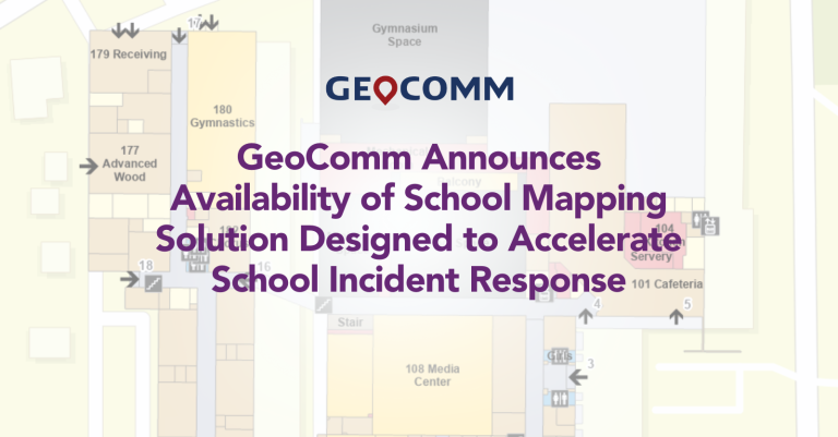
GeoComm Announces Availability of School Mapping Solution Designed to Accelerate School Incident Response
GeoComm, provider of Public Safety Location Intelligence®, is excited to announce the availability of GeoComm School Safety, a digital mapping solution which leverages the latest Esri ArcGIS technology to support faster response to school emergencies. The solution provides detailed indoor maps of schools and surrounding grounds, along with critical information needed by school safety authorities, public safety agencies, and first responders for streamlining and reducing response times to emergencies inside schools.
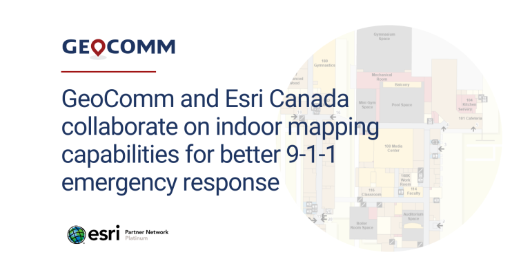
GeoComm and Esri Canada collaborate on indoor mapping capabilities for better 9-1-1 emergency response
GeoComm, provider of Public Safety Location Intelligence®, and Esri Canada, a provider of geographic information system (GIS) solutions, have introduced a proof-of concept (PoC) solution that improves locating 9-1-1 callers inside buildings during an emergency event. The solution, unveiled at the Esri Partner Conference on March 6, 2023 in Palm Springs, California, aims to solve the challenges of identifying the specific locations of people, assets, and events that are indoors and commonly undetectable to emergency services personnel.

GeoComm Earns Esri State and Local Government Specialty Designation
GeoComm, provider of Public Safety Location Intelligence®, is pleased to announce that it has earned the State and Local Government specialty designation from Esri. Partners in the State and Local Government specialty apply their ArcGIS knowledge and expertise to develop and configure ready-to-use solutions and offer implementation services to city, state, and local government customers.
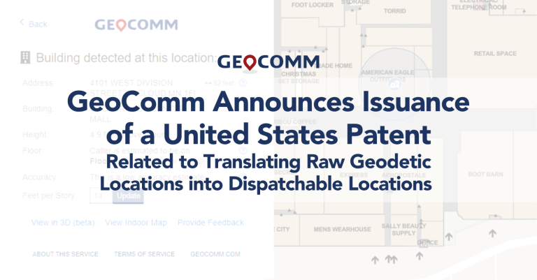
GeoComm Announces Issuance of a United States Patent Related to Translating Raw Geodetic Locations into Dispatchable Locations
GeoComm is pleased to announce the issuance by the United States Patent and Trademark Office (USPTO) of a new patent related to GeoComm’s z-axis vertical location technology.
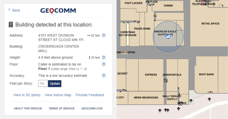
GeoComm Announces Early Access Program for Vertical Location Content
GeoComm, provider of Public Safety Location Intelligence®, is announcing the early release of GeoComm Vertical Location Content, an extension of GeoComm Vertical Location Services which enhances raw z-axis 9-1-1 caller location data by making it actionable.
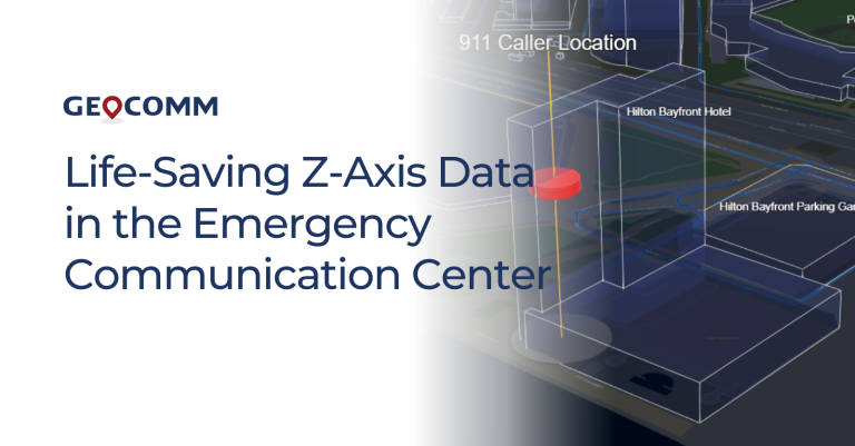
Life-Saving Z-Axis Data in the Emergency Communication Center
When a 9-1-1 call is placed, the caller’s location is a primary piece of information that dispatchers need to deploy emergency response personnel. Where is the caller located? What do their surroundings look like? Could something about that location be an obstacle or even hazardous to first responders?
Congratulations Shirley Simon on your Retirement
GeoComm would like to congratulate our Contract Manager, Shirley Simon, on her retirement. Thank you for over 20 years of service at GeoComm. We asked Shirley to reflect on her time here at GeoComm and these are her thoughts.
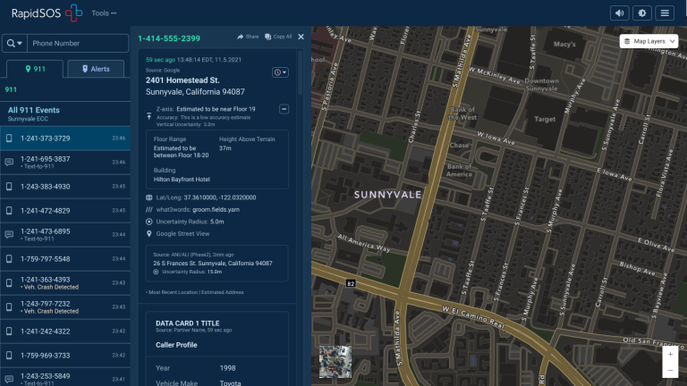
Z-Axis Location Information – The Next Frontier of Public Safety Location Intelligence®
What is z-axis and how does it improve in public safety emergency response? Many Emergency Communications Centers (ECCs) have started to notice that raw z-axis information is now available to them, but what should be done with that information and how can it be made actionable?
