Latest GeoComm updates

GeoComm Launches Map Converter to Accelerate the Conversion of Static Floorplans into Response Ready Indoor GIS Data
New public safety grade solution accelerates static floorplan-to-GIS conversion, helping public safety, school safety, healthcare, and critical infrastructure organizations improve situational awareness, coordination, and response readiness ST. CLOUD, Minn. – June 24, 2026 – GeoComm, leading provider of public safety grade location data and mapping solutions, today announced GeoComm Map Converter, a new solution designed to help organizations...

Drone as First Responder Programs Need Indoor Maps Too
By John Brosowsky, SVP of Innovation, and Tracy “Mac” McElvaney, Chief Product & Innovation Officer, GeoComm Bridging the Gap Between Aerial and Interior Response Drone as First Responder programs are increasingly becoming part of modern public safety operations. They can provide rapid aerial situational awareness, help agencies assess scenes sooner, and give commanders and field responders more context before personnel...

GeoComm Joins Make Our Schools Safe as 2026 Annual Partner to Help Strengthen School Emergency Response
News provided by GeoComm, Inc Jun 03, 2026, 10:31 ET Partnership connects school safety advocacy with public-safety-grade indoor mapping to help schools and first responders access critical information when every second matters. ST. CLOUD, Minn. and PARKLAND, Fla., June 3, 2026 /PRNewswire/ — GeoComm, a trusted provider of Public Safety Grade indoor mapping and location intelligence solutions,...
Customer Profile: North Platte, Nebraska
The North Platte, Nebraska Police Department serves as the Emergency Communications Center (ECC) for Lincoln County and the City of Gothenburg in Dawson County, serving a population of over 38,000 people and receiving over 15,000 9-1-1 calls each year.
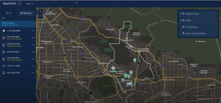
The Value of Locally Authoritative GIS Data in RapidSOS Premium
What is locally authoritative GIS data and why is it valuable in public safety emergency response? This is a question many people have and one Deb Rozeboom, GeoComm’s Product Manager for GIS Services, had the opportunity to present on this fall at the RapidSOS Ready22 Conference. Deb also overviewed GeoComm’s partnership with RapidSOS to support the locally authoritative GIS data being utilized by RapidSOS Premium customers.
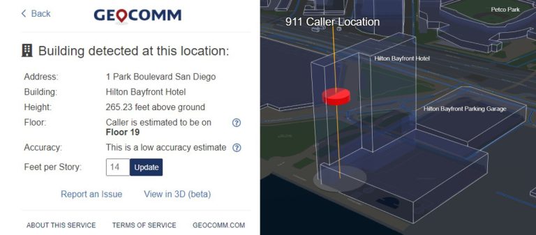
GeoComm Vertical Location Services Delivers Actionable Z-Axis Data for Public Safety Partners
GeoComm, provider of Public Safety Location Intelligence®, is announcing the general availability of GeoComm Vertical Location Services, building upon the early adopter program that was announced in August 2022. GeoComm Vertical Location Services is a web API which converts raw positioning measurements from 9-1-1 callers’ cell phones into dispatchable locations and is available to authorized vendors who serve the public safety industry.
Empower 9-1-1 and emergency response with game changing Public Safety Grade GIS data
NG9-1-1 is a game changer for the 9-1-1 community because it utilizes Geographic Information Systems (GIS) technology to deliver every 9-1-1 call – mobile, VoIP, and landline alike – to 9-1-1 communication centers.
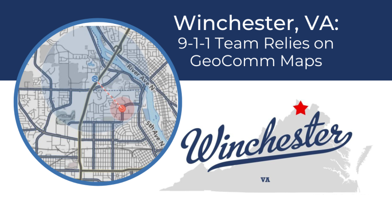
Winchester, VA: 9-1-1 Team Relies on GeoComm Maps
Implementing new 9-1-1 mapping technology can be a large undertaking for public safety and GIS agencies, but experiencing improvements in 9-1-1 call processing capabilities and knowing that the 9-1-1 map is reliable, makes the process worthwhile.
Powering your Public Safety Systems with Improved GIS Data
When answering a 9-1-1 call, access to accurate and up–to–date map data is essential because seconds count. Fortunately, achieving the necessary quality map data needed for 9-1-1 can happen with just a few steps. Your steps involve assessing, improving, maintaining, and sharing your Geographic Information System (GIS) data to fulfill its mission critical role in current and future 9-1-1 systems.
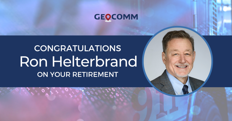
Congratulations Ron Helterbrand on your Retirement
GeoComm would like to congratulate our Territory Sales Manager for the South-Central Region, Ron Helterbrand, on his retirement. Thank you for your 27 years of service in the public safety industry. We asked Ron to reflect on his time here at GeoComm and these are his thoughts.
GIS Data Assessment – Laying a Foundation for Success
How accurate is the public safety map data in your community? Does your call taker, dispatcher, and first responder have the necessary data during those critical seconds? These are important questions GIS and 9-1-1 teams need to answer. Learn how we can help you lay a foundation for success through a GIS data assessment.

2022 Texas DIR Contract and Pricing
GeoComm, a leading provider of geographic information and communication systems, has been awarded a Texas Department of Information Resources (DIR) contract DIR-CPO-4499 for GeoComm’s public safety software.
