Latest GeoComm updates

GeoComm Launches Map Converter to Accelerate the Conversion of Static Floorplans into Response Ready Indoor GIS Data
New public safety grade solution accelerates static floorplan-to-GIS conversion, helping public safety, school safety, healthcare, and critical infrastructure organizations improve situational awareness, coordination, and response readiness ST. CLOUD, Minn. – June 24, 2026 – GeoComm, leading provider of public safety grade location data and mapping solutions, today announced GeoComm Map Converter, a new solution designed to help organizations...

Drone as First Responder Programs Need Indoor Maps Too
By John Brosowsky, SVP of Innovation, and Tracy “Mac” McElvaney, Chief Product & Innovation Officer, GeoComm Bridging the Gap Between Aerial and Interior Response Drone as First Responder programs are increasingly becoming part of modern public safety operations. They can provide rapid aerial situational awareness, help agencies assess scenes sooner, and give commanders and field responders more context before personnel...

GeoComm Joins Make Our Schools Safe as 2026 Annual Partner to Help Strengthen School Emergency Response
News provided by GeoComm, Inc Jun 03, 2026, 10:31 ET Partnership connects school safety advocacy with public-safety-grade indoor mapping to help schools and first responders access critical information when every second matters. ST. CLOUD, Minn. and PARKLAND, Fla., June 3, 2026 /PRNewswire/ — GeoComm, a trusted provider of Public Safety Grade indoor mapping and location intelligence solutions,...
Why GIS Data Goes Out of Date Fast – And How Public Safety Agencies Can Keep It Current
Why GIS Data Becomes Outdated — Especially in Public Safety How quickly does Public Safety GIS data go out of date? The answer is… almost immediately! Let’s look at why this is the case, what the impacts to public safety are, and why effective GIS data management practices can ensure that your public safety GIS...
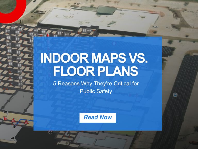
Indoor Maps vs. Floor Plans: 5 Reasons They’re Critical for Public Safety
Merriam-Webster’s Dictionary defines a floor plan as “a scale diagram of a room or suite of rooms viewed from above” and a map as “ a flat surface of the whole or a part of an area.” But in the world of emergency response and public safety, what separates a traditional floor plan from a...
School Safety Mapping Data: What West Virginia’s HB 3166 Means for Your District
In an era where school safety is paramount, West Virginia has taken a significant step forward with the passage of House Bill 3166 (HB 3166). This legislation mandates the creation of standardized school safety mapping data across all public schools in the state. As a leader in public safety GIS solutions, GeoComm is poised to...
HB 268 School Mapping Data: What Georgia’s New Safety Law Means for Schools
Introduction The need for precise, up-to-date school mapping data has never been greater. Georgia’s new safety mandate, Ricky and Alyssa’s Law, now requires all public schools to maintain digital maps and panic alert systems to improve emergency response. But this law is just one step in a growing national movement. School mapping data is becoming...

Avoiding 9-1-1 Call Failures: How PSAP Boundaries and NG9-1-1 Support Emergency Preparedness
As Next-Generation 9-1-1 (NG9-1-1) continues to evolve, accurate Public Safety Answering Point (PSAP) 911 service area boundaries are more crucial than ever for emergency services. This accuracy is also a foundational component of broader emergency preparedness strategies aimed at improving public safety outcomes. Why is this so important for emergency preparedness? NG9-1-1 Emergency Call Routing Functions...
How Denco 9-1-1 Locates Callers Indoors Using GeoComm’s Indoor Mapping
Indoor Mapping for Emergency Response & Public Safety Overview: Denco 9-1-1 Enhances School Safety with Indoor Mapping Denco Area 9-1-1 District (Denco 9-1-1) partnered with GeoComm in late 2019 to tackle the critical challenge of locating 9-1-1 callers indoors. The Indoor Map Development Project aimed to enhance Emergency Communications Center (ECC) mapping capabilities by leveraging...
Iowa’s School Safety Initiative: Critical Incident Mapping & 9-1-1 Emergency Response at Scale
Overview: Iowa School Safety Initiative As part of Governor Reynolds’ School Safety Initiative, GeoComm partnered with the Iowa Department of Education to implement Critical Incident Mapping (CIM) for more than 1,400 schools statewide. Nationally, schools generate an estimated 2,250 emergency calls to 9-1-1 each year, underscoring how often responders are asked to navigate complex, unfamiliar...
Southwest Minnesota: Digital Geographic Information System Mapping & 9-1-1 Emergency Response
Overview In 2023, the Southwest Minnesota Emergency Communications Board (SWECB) partnered with GeoComm to launch an indoor mapping pilot project. This digital geographic information system mapping initiative transformed critical infrastructure buildings into GIS-powered indoor maps, providing first responders with precise, real-time location intelligence and the school mapping data needed to ensure effective emergency response. The...
FCC NG9-1-1 Order: Progress, Challenges & What’s Next for Public Safety GIS
Where Are We Now in the NG9-1-1 Transition? On March 25, 2025, the Federal Communications Commission (FCC) issued a Public Notice announcing final approval by the U.S. Office of Management and Budget (OMB) of the FCC’s July 2024 Report and Order advancing the transition to Next Generation 9-1-1 (NG9-1-1). While this is a definite step...
