Latest GeoComm updates
AI Needs GIS
By John Brosowsky, SVP of Innovation, GeoComm Artificial intelligence is rapidly reshaping PSAP operations. From handling non-emergency calls to enabling real-time 9-1-1 transcription, translation, keyword detection, and call taker assistance, AI is becoming an integral part of modern emergency communications. But AI is not inherently intelligent; it identifies patterns and relationships within the information it has been trained on...

GeoComm and geoConvergence Announce Partnership to Support the Future of Indoor Mapping
Partnership highlights the increasing role of accurate indoor maps, GIS data, and public safety grade location intelligence in emergency response, school safety, and facility operations. ST. CLOUD, Minn., July 10, 2026 /PRNewswire/ — GeoComm, the nation’s leader in public safety grade location intelligence, today announced a new partnership with geoConvergence, a GIS consulting firm based in Bloomington, Indiana....

GeoComm Launches Map Converter to Accelerate the Conversion of Static Floorplans into Response Ready Indoor GIS Data
New public safety grade solution accelerates static floorplan-to-GIS conversion, helping public safety, school safety, healthcare, and critical infrastructure organizations improve situational awareness, coordination, and response readiness ST. CLOUD, Minn. – June 24, 2026 – GeoComm, leading provider of public safety grade location data and mapping solutions, today announced GeoComm Map Converter, a new solution designed to help organizations...

How Iowa Built a Statewide School Safety Mapping Program
What does it take to protect every student, teacher, and staff member across an entire state? In Iowa, it started with a shared vision and the right partnerships to bring it to life. Through collaboration between state leaders, local school districts, GeoComm, and technology partner Esri, Iowa launched a first-of-its-kind statewide school safety mapping program....
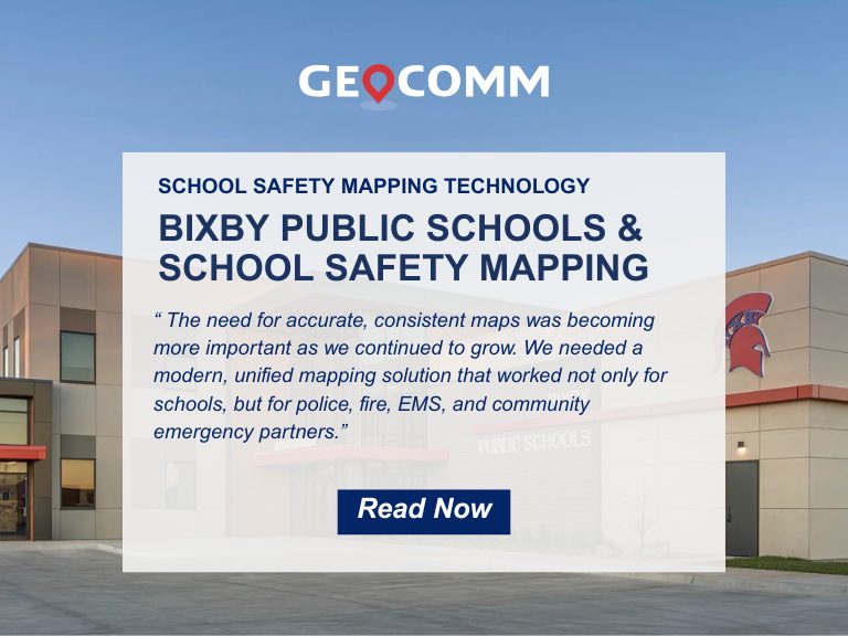
Bixby Public Schools Strengthens Emergency Preparedness With GeoComm’s School Safety Mapping Technology
St. Cloud, MN, February 16, 2026: Bixby Public Schools in Bixby, Oklahoma has partnered with GeoComm to implement districtwide school safety mapping across its 10 campuses, covering over 1.7 million square feet and supporting over 7,000 students. As one of the fastest -growing school districts in the state, Bixby Public Schools faced growing complexity in...

GeoComm Featured on WHO 13 News: Advancing School Safety in Iowa
Iowa schools are strengthening emergency preparedness with advanced 9-1-1 mapping and call-forwarding technology designed to give first responders faster, clearer situational awareness when every second matters. Through the statewide Critical Incident Mapping initiative, more than 1,400 schools across Iowa now have access to accurate, up-to-date indoor maps that support improved communication between school staff, 9-1-1...

2026 Texas DIR Contract and Pricing
GeoComm, a leading provider of geographic information and communication systems, has been awarded a Texas Department of Information Resources (DIR) contract DIR-CPO-4499 for GeoComm’s public safety software.

GeoComm Appoints TJ Kennedy as CEO to Lead Next Chapter in Public Safety Innovation
St. Cloud, MN – October 22, 2025 – GeoComm, today announced new executive leadership to accelerate its transformation as the nation’s most trusted provider of public safety GIS and indoor mapping. TJ Kennedy has been named Chief Executive Officer bringing decades of expertise to advance GeoComm’s mission of delivering life-saving location intelligence for first responders,...
3 Ways to Make Sure Your District is Ready for School Safety Mapping Funding
School safety mapping funding is becoming a critical resource for districts working to strengthen emergency preparedness. But when opportunities open, schools often have limited time to apply and competition is high. By preparing ahead of time, your district can be ready to act quickly and increase the chances of securing this vital funding. Why School...

Comprehensive School Safety Plan California: What Every School Needs to Know
School safety is one of the most important responsibilities of California educators and administrators. From natural disasters to campus threats, every school must be ready to protect students and staff. That’s why the Comprehensive School Safety Plan California (CSSP) requirement exists. Every public K–12 school in the state must have a CSSP that is updated...
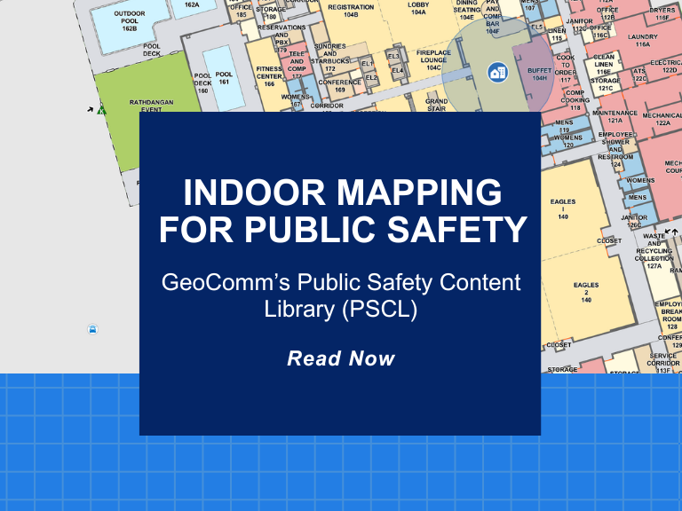
Indoor Mapping for Public Safety: GeoComm’s Public Safety Content Library (PSCL)
At GeoComm, innovation meets impact. A great example of this is our groundbreaking Public Safety Content Library (PSCL). Designed to revolutionize how 9-1-1 telecommunicators, dispatchers, and emergency responders can access and use critical indoor mapping during emergencies to reduce response times, PSCL is a secure, cloud-based indoor map data warehouse purpose-built for public safety. What...

Maryland School Mapping Data Requirements and SB 540 Grant Explained
Why Maryland Is Taking Action on School Mapping Data In a continued effort to enhance school safety, the state of Maryland has introduced groundbreaking legislation designed to provide Maryland school mapping data to every public school with detailed, accurate, and interoperable facility maps. With the passage of Senate Bill 540 (SB 540), Maryland schools are...
