Latest GeoComm updates

GeoComm Launches Map Converter to Accelerate the Conversion of Static Floorplans into Response Ready Indoor GIS Data
New public safety grade solution accelerates static floorplan-to-GIS conversion, helping public safety, school safety, healthcare, and critical infrastructure organizations improve situational awareness, coordination, and response readiness ST. CLOUD, Minn. – June 24, 2026 – GeoComm, leading provider of public safety grade location data and mapping solutions, today announced GeoComm Map Converter, a new solution designed to help organizations...

Drone as First Responder Programs Need Indoor Maps Too
By John Brosowsky, SVP of Innovation, and Tracy “Mac” McElvaney, Chief Product & Innovation Officer, GeoComm Bridging the Gap Between Aerial and Interior Response Drone as First Responder programs are increasingly becoming part of modern public safety operations. They can provide rapid aerial situational awareness, help agencies assess scenes sooner, and give commanders and field responders more context before personnel...

GeoComm Joins Make Our Schools Safe as 2026 Annual Partner to Help Strengthen School Emergency Response
News provided by GeoComm, Inc Jun 03, 2026, 10:31 ET Partnership connects school safety advocacy with public-safety-grade indoor mapping to help schools and first responders access critical information when every second matters. ST. CLOUD, Minn. and PARKLAND, Fla., June 3, 2026 /PRNewswire/ — GeoComm, a trusted provider of Public Safety Grade indoor mapping and location intelligence solutions,...
GeoComm Retained by Cook County Illinois to take their GIS Data to the Next Level with GeoComm GIS Data Hub
Cook County joins a vast network of over 1,500 jurisdictions throughout the country utilizing GeoComm GIS Data Hub to manage their GIS data lifecycle which is a cloud-based solution and the central element of GeoComm’s complete integrated 9-1-1 GIS data workflow process toolset.

GeoComm’s Jody Sayre Recognized by The Software Report as one of The Top 50 Women Leaders in SaaS of 2020
GeoComm is excited to announce that Jody Sayre, Vice President of Marketing and Channel Management, has been selected by The Software Report as one of The Top 50 Women Leaders in SaaS of 2020. These 50 exceptional executives have played significant roles, which in many cases have led to profound results. Their deep expertise, leveraged...
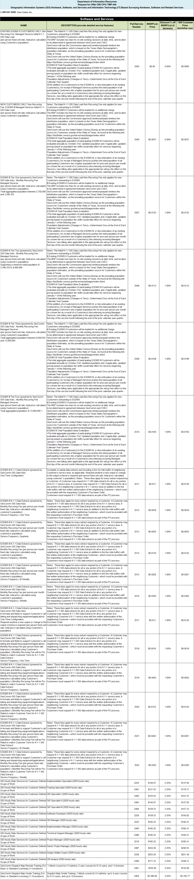
2020 Texas DIR Contract and Pricing
GeoComm, a leading provider of geographic information and communication systems, has been awarded a Texas Department of Information Resources (DIR) contract DIR-TSO-3441 for GeoComm’s public safety software.
GeoComm Selected by State of Missouri for Statewide NG9-1-1 GIS Services Project
GeoComm is pleased to announce its selection by the Missouri 911 Service Board for a Statewide Next Generation 9-1-1 (NG9-1-1) GIS Services Project aimed at helping the State prepare for a future NG9-1-1 implementation.
Pennsylvania Regions Select GeoComm for NG9-1-1 GIS Services
We are excited to announce our partnership with the Pennsylvania Northern Tier Consortium, a group of ten counties serving a population of over 650,000 people, and the North Central Region, a group of eleven Pennsylvania counties serving over 180,000 people. This work will expand on the statewide NG9-1-1 GIS Data GAP Analysis project GeoComm completed in late 2019 with the Pennsylvania Emergency Management Agency (PEMA).
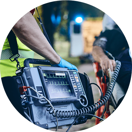
Innovation Spotlight~ Automated External Defibrillator Location Display Experience
GeoComm partnered with Stearns County, Minnesota, and a local non-profit in 2019 on an initiative aimed at mapping the location information for Automatic Emergency Defibrillators (AEDs) in Stearns County. The goal of the project was to empower 9-1-1 PSAPs with AED location information so PSAP call takers could inform 9-1-1 callers of nearby AED locations....

Understanding The Urgency For Indoor Maps
Today, most people expect that 9-1-1 call centers can pinpoint their exact location during emergency calls, even inside of buildings. But you do not have to look far to find high profile cases where challenges locating 9-1-1 callers indoors have contributed to increased emergency response times, and even tragic outcomes.
GeoComm Announces Public Safety Location Intelligence ™ Mapping Platform Unlocking Lifesaving Potential of Indoor Maps
GeoComm, a leading provider of Public Safety Location Intelligence ™, is excited to announce the availability of GeoComm Maps in early 2021. GeoComm Maps is a public safety mapping platform that is designed to unlock the critical lifesaving potential of indoor maps for 9-1-1 call takers and emergency responders.

Public Safety Industry Expert Joins GeoComm’s Sales Team in Southeastern United States Region
GeoComm is excited to announce the addition of Susan Nelson to their sales team as Territory Sales Manager covering the Southeastern United States region. Susan joins the GeoComm sales team with over 20 years in the public safety industry.
