Latest GeoComm updates

GeoComm Launches Map Converter to Accelerate the Conversion of Static Floorplans into Response Ready Indoor GIS Data
New public safety grade solution accelerates static floorplan-to-GIS conversion, helping public safety, school safety, healthcare, and critical infrastructure organizations improve situational awareness, coordination, and response readiness ST. CLOUD, Minn. – June 24, 2026 – GeoComm, leading provider of public safety grade location data and mapping solutions, today announced GeoComm Map Converter, a new solution designed to help organizations...

Drone as First Responder Programs Need Indoor Maps Too
By John Brosowsky, SVP of Innovation, and Tracy “Mac” McElvaney, Chief Product & Innovation Officer, GeoComm Bridging the Gap Between Aerial and Interior Response Drone as First Responder programs are increasingly becoming part of modern public safety operations. They can provide rapid aerial situational awareness, help agencies assess scenes sooner, and give commanders and field responders more context before personnel...

GeoComm Joins Make Our Schools Safe as 2026 Annual Partner to Help Strengthen School Emergency Response
News provided by GeoComm, Inc Jun 03, 2026, 10:31 ET Partnership connects school safety advocacy with public-safety-grade indoor mapping to help schools and first responders access critical information when every second matters. ST. CLOUD, Minn. and PARKLAND, Fla., June 3, 2026 /PRNewswire/ — GeoComm, a trusted provider of Public Safety Grade indoor mapping and location intelligence solutions,...
GeoComm and Rave Mobile Safety Announce First-in-the-Nation Seamless Integration of Authoritative 9-1-1 Location Data into Emergency Mass Notification System
GeoComm, a leading provider of Public Safety Location Intelligence® and Rave Mobile Safety (Rave), the critical communication and collaboration platform customers count on when it matters most, announced today a new and expanded strategic partnership to substantially improve the quality of data relied upon by public safety agencies to accurately target critical mass notification recipients.

Superior Software Maintenance with Cloud-Native Public Safety Applications
As an administrator of your agency's public safety information technology infrastructure, you are responsible for coordinating minimal impact updates on your critical software applications. This can sometimes require careful planning and scheduling due to the time-sensitive updates and software patches which need immediate attention. What if you could eliminate the interruption and get these enhancements to users sooner? Cloud-native applications to the rescue.

GeoComm Awarded Nationwide Purchasing Contract Through North Carolina Sheriff’s Association
GeoComm, leading provider of Public Safety Location Intelligence®, is pleased to announce their public safety GIS software and services have been accepted onto the North Carolina Sheriff’s Association (NCSA) purchasing contract.
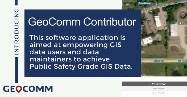
GeoComm Releases Software Application Aimed at Empowering GIS Data Users and Data Maintainers
GeoComm, a leading provider of Public Safety Location Intelligence®, announces the release of GeoComm Contributor an application designed specifically for achieving Public Safety Grade GIS Data. By improving workflows and collaboration, GeoComm Contributor empowers a wide range of local GIS data authorities to overcome day-to-day GIS maintenance workflow challenges with a consistent method to submit updates.

Webinar Recap: Embarking on your NG9-1-1 GIS Migration
On Friday, March 5, 2021, GeoComm hosted a webinar titled, “Embarking on your NG9-1-1 GIS Migration.” GeoComm’s Jessica Frye, ENP, GIS Project manager and Kathy Liljequist, GIS Consultant offered attendees the opportunity to learn more about critical GIS data maintenance workflow decisions that 9-1-1 and GIS departments face as they embark on the NG9-1-1 GIS migration.

GeoComm Announces Addition of Public Safety Industry Expert to GIS Content and Services Team
GeoComm is excited to announce that Keri Brennan, GISP, ENP, has joined the GeoComm team as a Product Manager in our Public Safety GIS Content business unit. Brennan brings 25 years of public safety industry experience and is a known GIS industry expert.

2020 Year in Review
2020 was a year that changed the world, creating unique and stressful situations for everyone. We know frontline workers faced many additional obstacles throughout the uncertain time, and we remain grateful for their ongoing commitment and dedication to helping the communities they serve.

GeoComm Announces Changes to Customer Success Team focused on Improving Customer Experience
GeoComm, provider of Public Safety Location Intelligence ®, today announced the promotion of Jodi Wroblewski, PMP to Director of Customer Success and Implementation. Joining Wroblewski in delivering Customer Success is Tuan Le, Customer Success Project Coordinator.
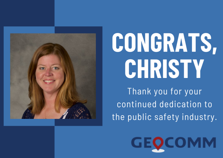
GeoComm Announces Project Management Leadership Promotion
GeoComm is excited to announce the promotion of Christy Hayes, PMP, ENP, to Senior Director of Project Management. Hayes who has worked in the public safety industry for over twenty years. She joined GeoComm in 2010 and began leading the Project Management Team in 2015.
