Latest GeoComm updates

GeoComm Launches Map Converter to Accelerate the Conversion of Static Floorplans into Response Ready Indoor GIS Data
New public safety grade solution accelerates static floorplan-to-GIS conversion, helping public safety, school safety, healthcare, and critical infrastructure organizations improve situational awareness, coordination, and response readiness ST. CLOUD, Minn. – June 24, 2026 – GeoComm, leading provider of public safety grade location data and mapping solutions, today announced GeoComm Map Converter, a new solution designed to help organizations...

Drone as First Responder Programs Need Indoor Maps Too
By John Brosowsky, SVP of Innovation, and Tracy “Mac” McElvaney, Chief Product & Innovation Officer, GeoComm Bridging the Gap Between Aerial and Interior Response Drone as First Responder programs are increasingly becoming part of modern public safety operations. They can provide rapid aerial situational awareness, help agencies assess scenes sooner, and give commanders and field responders more context before personnel...

GeoComm Joins Make Our Schools Safe as 2026 Annual Partner to Help Strengthen School Emergency Response
News provided by GeoComm, Inc Jun 03, 2026, 10:31 ET Partnership connects school safety advocacy with public-safety-grade indoor mapping to help schools and first responders access critical information when every second matters. ST. CLOUD, Minn. and PARKLAND, Fla., June 3, 2026 /PRNewswire/ — GeoComm, a trusted provider of Public Safety Grade indoor mapping and location intelligence solutions,...
GeoComm Earns Esri Partner Network ArcGIS System Ready Specialty Designation
GeoComm, is pleased to announce their recognition by Esri as a Release Ready Specialty Esri Partner Network partner. This designation is awarded to partners who are committed to being early adopters of Esri’s world leading geographic information systems software and are dedicated to incorporating that technology into their offerings.
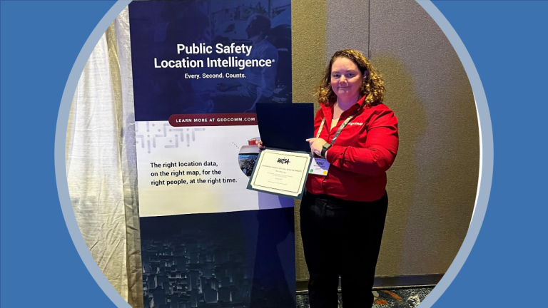
GeoComm’s Keri Brennan Receives Barbara Hirsch Special Service Award
GeoComm is excited to announce that Keri Brennan, GeoComm Product Manager for Public Safety GIS Content and Services, received the Barbara Hirsch Special Service Award this week during the Urban and Regional Information Systems Association (URISA) 2021 GIS Pro Conference in Baltimore, Maryland. This award, which is presented to individuals or committees who have shown a consummate level of service to URISA, is one of the highest honors to be given by URISA

Public Safety Grade GIS Data is the Foundation of Public Safety Location Intelligence®
With Geographic Information Systems (GIS) data playing a key role across E9-1-1, NG9-1-1, ECC and responder tactical mapping systems and applications, and now indoor and vertical 9-1-1 caller location, it has become an imperative for 9-1-1 to implement Public Safety Grade GIS data. These mission critical life safety systems and applications rely on GIS data to drive emergency response - helping to save lives and protect property. This GIS data must be highly accurate, highly secure, highly available, up-to-date, and commonly accessible to all mission critical life safety applications across 9-1-1 and public safety organizations.
Commonwealth of Kentucky Becomes 17th State to Select GeoComm for NG9-1-1 GIS Project
GeoComm is pleased to announce its selection by the Commonwealth of Kentucky for a multi-year statewide NG9-1-1 GIS project. As Kentucky transitions to a NG9-1-1 environment, the need for a robust GIS environment at local, regional, and statewide agencies dramatically increases. This project will lay the groundwork for the Commonwealth to transition to a future Next Generation 9-1-1 (NG9-1-1) environment.
State of Michigan Selects GeoComm for Statewide Next Generation 9-1-1 GIS Project
The State of Michigan to provide GIS data assessment and improvement services to counties across the state to support their NG9-1-1 migration. As the State of Michigan prepares for its transitions to a NG9-1-1 environment the need for a robust GIS environment at local, regional, and statewide agencies dramatically increases. This project includes utilizing GeoComm’s proven assess, improve, and maintain process to empower public safety agencies throughout the state to achieve Public Safety Grade GIS data.
GeoComm, RapidSOS, and Esri Offering Indoor Maps for Improved Situational Awareness in Emergency Response
GeoComm, RapidSOS, and Esri are excited to announce a partnership designed to deliver indoor maps to 9-1-1 and first responders, improving their emergency response situational awareness.
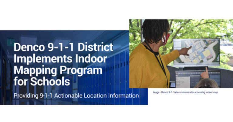
Denco 9-1-1 Brings Indoor Maps to Schools, Providing 9-1-1 Actionable Location Information
Denco Area 9-1-1 District (Denco 9-1-1), providing 9-1-1 services to nearly 800,000 people in 33 jurisdictions throughout North Texas, recently worked with GeoComm to bring indoor maps to 86 K-12 public schools throughout the region.
GeoComm Partners with RapidSOS to deliver Indoor Maps to 911 and First Responders
The Indoor Maps solution gives 911 telecommunicators device-based location context that reduce response times via the RapidSOS Portal

Maptelligent, Inc., Executes an Agreement With GeoComm, Inc.
Announcing a recent agreement with Maptelligent enabling them to provide the physical security and facility management market with GeoComm Maps and GeoComm Indoor Maps to visualize building floor plans and site assets on cloud-native map displays.