Latest GeoComm updates

GeoComm Launches Map Converter to Accelerate the Conversion of Static Floorplans into Response Ready Indoor GIS Data
New public safety grade solution accelerates static floorplan-to-GIS conversion, helping public safety, school safety, healthcare, and critical infrastructure organizations improve situational awareness, coordination, and response readiness ST. CLOUD, Minn. – June 24, 2026 – GeoComm, leading provider of public safety grade location data and mapping solutions, today announced GeoComm Map Converter, a new solution designed to help organizations...

Drone as First Responder Programs Need Indoor Maps Too
By John Brosowsky, SVP of Innovation, and Tracy “Mac” McElvaney, Chief Product & Innovation Officer, GeoComm Bridging the Gap Between Aerial and Interior Response Drone as First Responder programs are increasingly becoming part of modern public safety operations. They can provide rapid aerial situational awareness, help agencies assess scenes sooner, and give commanders and field responders more context before personnel...

GeoComm Joins Make Our Schools Safe as 2026 Annual Partner to Help Strengthen School Emergency Response
News provided by GeoComm, Inc Jun 03, 2026, 10:31 ET Partnership connects school safety advocacy with public-safety-grade indoor mapping to help schools and first responders access critical information when every second matters. ST. CLOUD, Minn. and PARKLAND, Fla., June 3, 2026 /PRNewswire/ — GeoComm, a trusted provider of Public Safety Grade indoor mapping and location intelligence solutions,...
GeoComm Maps: Visualizing Public Safety Location Intelligence®
GeoComm is excited to announce the general availability of GeoComm Maps, a highly available, secure, cloud-native mapping application purpose built to enable users to leverage GeoComm’s Public Safety Location Intelligence® Platform. GeoComm maps provide public safety agencies the ability to deliver the right location data to the right user at the right time.

GeoComm Announces Executive Promotion to aid in Streamlined Delivery of Public Safety Location Intelligence®
GeoComm today announced the promotion of Amanda Romaine, MBA, to Assistant Vice President of Marketing and Partner Management. Over the last 10 years, Romaine has built a strong, market-oriented marketing program and demonstrated strategic leadership supporting GeoComm’s Public Safety Location Intelligence® strategy.
Radcliff Kentucky Police Department Completes GIS Data Assessment and Improvement Project
In 2020 GeoComm worked with the Radcliff Kentucky Police Department, to review the current state of the GIS data being used being utilized at their ECC. This project utilized GeoComm’s proven assess, improve, maintain approach for achieving public safety grade GIS data, ensuring its accuracy for routing emergency response through their CAD system.
GeoComm Announces Strategic Reorganization to Deliver Public Safety Location Intelligence®
As we look to the future, we are focused on delivery of Public Safety GIS applications and Public Safety GIS Content and Services. Each of these areas will provide executive leadership with Erik Loberg as the Vice President of Public Safety GIS Applications and Jody Sayre as the Vice President of Public Safety GIS Content and Services.

Webinar Recap: Advancing Location Intelligence: Accessing Indoor Maps from RapidSOS Portal
On Tuesday, December 8th, 2020, GeoComm and RapidSOS hosted a webinar titled Advancing Location Intelligence: Accessing Indoor Maps from RapidSOS Portal. GeoComm's John Brosowsky, Vice President of Innovation and RapidSOS' Karin Marquez, Senior Director of Public Safety sat down to discuss: why now is the right time to equip 9-1-1 call takers and emergency responders with indoor location intelligence, the value indoor maps offer when combined with improved 9-1-1 caller location coordinates and Esri’s industry-leading mapping technology, and how to leverage location intelligence through RapidSOS Portal to create unprecedented situational awareness.
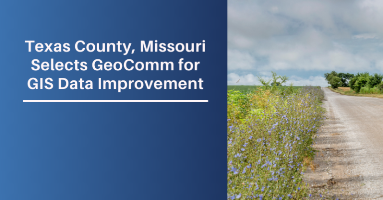
Texas County Missouri Selects GeoComm for GIS Data Improvement Project
GeoComm is honored to be selected by Texas County, Missouri, the largest land mass county in Missouri, covering almost 1200 square miles, to partner with them to improve their GIS data, achieving public safety grade GIS levels indicating it is ready to properly operate in a NG9-1-1 environment.

Wyoming Highway Patrol Selects GeoComm for Long-term GIS Data Maintenance Project
GeoComm is excited to announce they have entered into a GIS data maintenance agreement with the Wyoming Highway Patrol (WHP). The WHP relies on accurate and up-to-date GIS data for their Computer Aided Dispatch (CAD) system which is used to route resources to the location of the emergency calls across the state.
GeoComm Selected by the State of Arkansas to Complete Next Generation 9-1-1 Statewide GIS Data Gap Analysis Project
“As we take the first steps toward our transition to Next Generation 9-1-1, we are extremely pleased to be working with GeoComm on refining and improving our state’s geospatial data. Their vast experience, knowledge, and success helping multiple other states across the nation complete this process made us confident that they could help us achieve success,” Shelby Johnson, State of Arkansas Geographic Information Officer.

GeoComm By The Numbers
We know that in an emergency every second counts and have spent the last 25 years helping our customers save lives and protect property by providing essential, innovative, location-based solutions to public safety professionals.
