Geographic Information Systems Insights
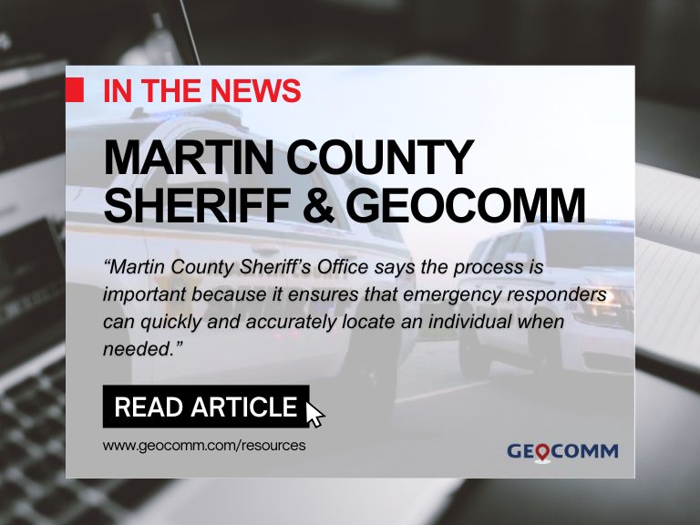
Martin County Sheriff’s Office Launches Project to Enhance 9-1-1 Services
MARTIN COUNTY, Fla. (CBS12) — A project is underway to improve 911 emergency response services in Martin County. The Martin County Sheriff’s Office (MCSO) says that from Wednesday to February 3, deputies, including field technicians from the firm GeoComm, will visit certain Martin County homes to confirm addresses and street names. A map provided by...

ZeroEyes and GeoComm Partner to Enhance Iowa School Safety with Advanced AI Gun Detection and Intelligent Mapping
ZeroEyes, the creators of the only AI-based gun detection video analytics platform that holds the US Department of Homeland Security Safety Act Designation, and GeoComm, the provider of locally authoritative indoor and outdoor Geographic Information Systems (GIS), today announced a technology integration partnership to enhance emergency response and school safety. This collaboration merges ZeroEyes' AI gun detection and situational awareness software with GeoComm's comprehensive indoor mapping solutions to provide real-time, actionable intelligence to any Iowa K-12 schools.

Unlocking the Power of Map Data Manager: Enhancing School Safety & Indoor Safety
An indoor map delivers the next level of precise location information via a highly organized visualization of all the essential elements in a building. Bringing your building to life with a detailed map and into the hands of those who need it is a critical first step to unlocking seamless navigation and enhanced accessibility!

GeoComm Announces Leadership Transition to New Chief Executive Officer
GeoComm, provider of Public Safety Location Intelligence®, announces a leadership transition, appointing Jeff Liebl as GeoComm’s next President and Chief Executive Officer (CEO). Jeff succeeds John Bryant who will transition to the Chair of the GeoComm Board of Directors.
Iowa Critical Incident Mapping (CIM) Project
GeoComm School Safety is delivering the Iowa critical incident mapping (CIM) solution for planning and responding to emergencies inside schools by providing detailed indoor maps of schools and surrounding grounds.
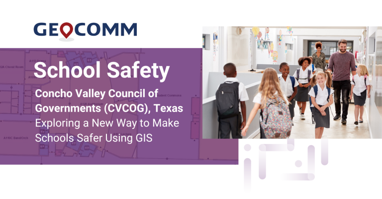
Concho Valley Council of Governments (CVCOG), Texas Exploring a New Way to Make Schools Safer Using GIS
CVCOG provides emergency communications services for approximately 16,300 square mile region in West Texas, supporting 15 Public Service Answering Points (PSAPs) within the thirteen-county region.

Working together to ensure the safety and well-being of our students and faculty by providing accurate school mapping for more informed emergency response.
During times of school emergencies, from medical issues to more serious threats, seconds can truly make a difference. Getting the right information to the right person at the school and to public safety as quickly as possible is critical to minimize the negative effects of emergencies, including the potential for saving the lives of our most vulnerable.
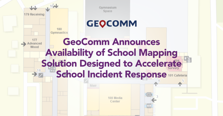
GeoComm Announces Availability of School Mapping Solution Designed to Accelerate School Incident Response
GeoComm, provider of Public Safety Location Intelligence®, is excited to announce the availability of GeoComm School Safety, a digital mapping solution which leverages the latest Esri ArcGIS technology to support faster response to school emergencies. The solution provides detailed indoor maps of schools and surrounding grounds, along with critical information needed by school safety authorities, public safety agencies, and first responders for streamlining and reducing response times to emergencies inside schools.
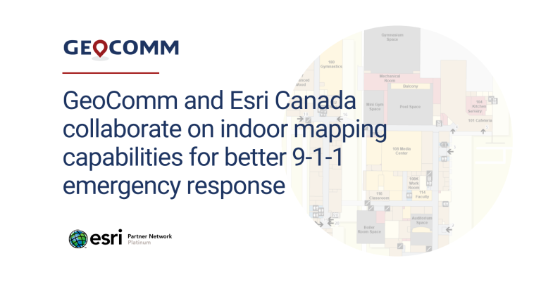
GeoComm and Esri Canada collaborate on indoor mapping capabilities for better 9-1-1 emergency response
GeoComm, provider of Public Safety Location Intelligence®, and Esri Canada, a provider of geographic information system (GIS) solutions, have introduced a proof-of concept (PoC) solution that improves locating 9-1-1 callers inside buildings during an emergency event. The solution, unveiled at the Esri Partner Conference on March 6, 2023 in Palm Springs, California, aims to solve the challenges of identifying the specific locations of people, assets, and events that are indoors and commonly undetectable to emergency services personnel.

GeoComm Earns Esri State and Local Government Specialty Designation
GeoComm, provider of Public Safety Location Intelligence®, is pleased to announce that it has earned the State and Local Government specialty designation from Esri. Partners in the State and Local Government specialty apply their ArcGIS knowledge and expertise to develop and configure ready-to-use solutions and offer implementation services to city, state, and local government customers.
GeoComm Announces Issuance of a United States Patent Related to Translating Raw Geodetic Locations into Dispatchable Locations
GeoComm is pleased to announce the issuance by the United States Patent and Trademark Office (USPTO) of a new patent related to GeoComm’s z-axis vertical location technology.
GeoComm Announces Early Access Program for Vertical Location Content
GeoComm, provider of Public Safety Location Intelligence®, is announcing the early release of GeoComm Vertical Location Content, an extension of GeoComm Vertical Location Services which enhances raw z-axis 9-1-1 caller location data by making it actionable.