Geographic Information Systems Insights
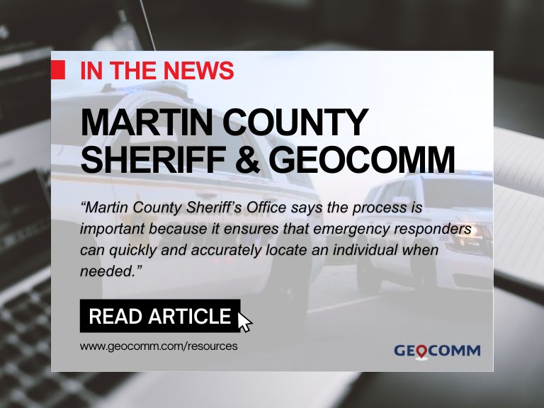
Martin County Sheriff’s Office Launches Project to Enhance 9-1-1 Services
MARTIN COUNTY, Fla. (CBS12) — A project is underway to improve 911 emergency response services in Martin County. The Martin County Sheriff’s Office (MCSO) says that from Wednesday to February 3, deputies, including field technicians from the firm GeoComm, will visit certain Martin County homes to confirm addresses and street names. A map provided by...

ZeroEyes and GeoComm Partner to Enhance Iowa School Safety with Advanced AI Gun Detection and Intelligent Mapping
ZeroEyes, the creators of the only AI-based gun detection video analytics platform that holds the US Department of Homeland Security Safety Act Designation, and GeoComm, the provider of locally authoritative indoor and outdoor Geographic Information Systems (GIS), today announced a technology integration partnership to enhance emergency response and school safety. This collaboration merges ZeroEyes' AI gun detection and situational awareness software with GeoComm's comprehensive indoor mapping solutions to provide real-time, actionable intelligence to any Iowa K-12 schools.

Unlocking the Power of Map Data Manager: Enhancing School Safety & Indoor Safety
An indoor map delivers the next level of precise location information via a highly organized visualization of all the essential elements in a building. Bringing your building to life with a detailed map and into the hands of those who need it is a critical first step to unlocking seamless navigation and enhanced accessibility!

GeoComm Featured on KTLA 5 News: Advancing the Future of 9-1-1 Response
GeoComm was recently spotlighted by KTLA 5 News in a segment highlighting the innovative technologies shaping the future of 9-1-1 and emergency response. The story showcases how GeoComm’s indoor mapping solutions are transforming emergency response by providing first responders with fast, accurate, and actionable location information. At the 2:08 mark, GeoComm’s Vice President of Sales...
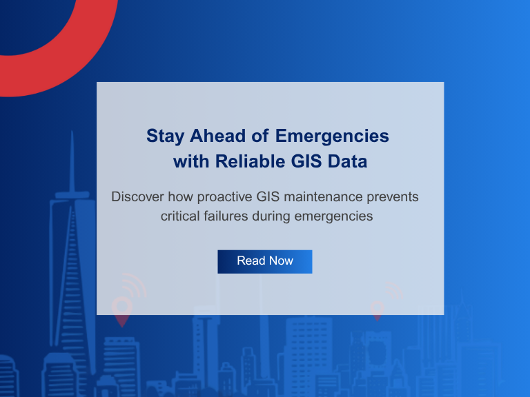
Don’t Wait for Data to Break: Manage Your GIS Data Proactively
Benjamin Franklin once observed, “Failing to plan is planning to fail.” While the origin of this quote is debated, its relevance remains indisputable—especially in the world of public safety. When it comes to 9-1-1 GIS data management, the message is clear: waiting for problems to appear before addressing them can have serious, even life-threatening, consequences. ...
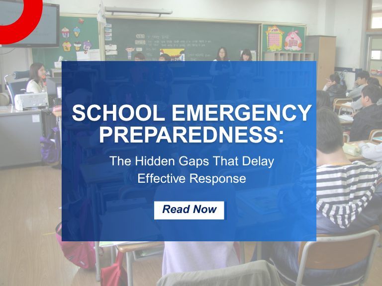
School Emergency Preparedness: Hidden Gaps That Delay Effective Response
When we think of school emergency preparedness, the focus is often on the visible: drills, locked doors, communication protocols, and security personnel. But behind these measures are hidden gaps—vulnerabilities that only surface during a critical incident exposes them. These oversights can mean the difference between a coordinated response and a chaotic scramble. Why School Emergency...

Why GIS Data Goes Out of Date Fast – And How Public Safety Agencies Can Keep It Current
Why GIS Data Becomes Outdated — Especially in Public Safety How quickly does Public Safety GIS data go out of date? The answer is… almost immediately! Let’s look at why this is the case, what the impacts to public safety are, and why effective GIS data management practices can ensure that your public safety GIS...

Indoor Maps vs. Floor Plans: 5 Reasons They’re Critical for Public Safety
Merriam-Webster’s Dictionary defines a floor plan as “a scale diagram of a room or suite of rooms viewed from above” and a map as “ a flat surface of the whole or a part of an area.” But in the world of emergency response and public safety, what separates a traditional floor plan from a...
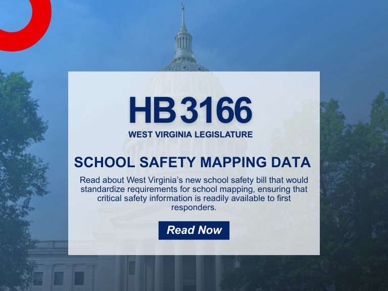
School Safety Mapping Data: What West Virginia’s HB 3166 Means for Your District
In an era where school safety is paramount, West Virginia has taken a significant step forward with the passage of House Bill 3166 (HB 3166). This legislation mandates the creation of standardized school safety mapping data across all public schools in the state. As a leader in public safety GIS solutions, GeoComm is poised to...

HB 268 School Mapping Data: What Georgia’s New Safety Law Means for Schools
Introduction The need for precise, up-to-date school mapping data has never been greater. Georgia’s new safety mandate, Ricky and Alyssa’s Law, now requires all public schools to maintain digital maps and panic alert systems to improve emergency response. But this law is just one step in a growing national movement. School mapping data is becoming...

Avoiding 9-1-1 Call Failures: How PSAP Boundaries and NG9-1-1 Support Emergency Preparedness
As Next-Generation 9-1-1 (NG9-1-1) continues to evolve, accurate Public Safety Answering Point (PSAP) 911 service area boundaries are more crucial than ever for emergency services. This accuracy is also a foundational component of broader emergency preparedness strategies aimed at improving public safety outcomes. Why is this so important for emergency preparedness? NG9-1-1 Emergency Call Routing Functions...
How Denco 9-1-1 Locates Callers Indoors Using GeoComm’s Indoor Mapping
Indoor Mapping for Emergency Response & Public Safety Overview: Denco 9-1-1 Enhances School Safety with Indoor Mapping Denco Area 9-1-1 District (Denco 9-1-1) partnered with GeoComm in late 2019 to tackle the critical challenge of locating 9-1-1 callers indoors. The Indoor Map Development Project aimed to enhance Emergency Communications Center (ECC) mapping capabilities by leveraging...