



ATT-logo
RapidSOS logo 2026
10
Carbyne
8
stratasite-logo
6
intrado-logo
12
13
Allerium
ATOS
Bim4Sites
CrisisGo
Digital Twin Imaging (1)
InDigital
Motorola Solutions
rapiddeploy
LandTech Consultants
The GeoSpatial Group (1)
MOSS
Gridbase
RYPPLZZ
Mutual Link
blank color
740 M

Sq. Ft. Mapped

blank color
30 +

Years of Experience

blank color
100 M

People Safeguarded

wrapper-deco-right-raw
wrapper-deco-left-raw

What Partners Build On

One location data layer. Outdoor, indoor, and vertical.
9-1-1 & Outdoor Location Data
  • Trusted Outdoor Location Data Continuously maintained address points, road networks, and service boundaries.
  • NG9-1-1 Ready Location data validated to NG9-1-1 and NENA standards.
  • Response-Ready Mapping Outdoor location intelligence built for dispatch and emergency response.

Why Partner with GeoComm

  • Public Safety Credibility Trusted by public safety agencies, statewide NG9-1-1 programs, and mission-critical response teams.
  • Expanded Reach Create new opportunities across regulated markets through aligned go-to-market efforts.
  • Integrations & Partner Support Flexible APIs, technical support, and co-selling resources to help your team integrate quickly and drive results.
1782742043305

Partnership Tiers

Grow with GeoComm through our tiered partnership program.
Tier Level What partners can expect
Member
Foundational partnership

Directory listing, logo exchange, light co-marketing, onboarding materials, and quarterly check-ins

Select
Integration-ready partnership

Everything in Member benefits, plus:
Technical onboarding, enablement materials, sandbox/test data access, and integration support

Premier
Go-to-market partnership

Everything in Select benefits, plus:
Dedicated partner support, joint campaigns, co-selling support, and priority technical support

Signature
Strategic partnership

Everything in Premier benefits, plus:
engagement, annual planning, roadmap input, pilot opportunities, and deeper collaboration

Explore Our Integrations & Partner Ecosystem

See the technology partners, integrations, resellers, and service providers working with GeoComm.
Integrations

“GeoComm brings an industry leading GIS solutions suite and the ease of use we need to help deliver stronger outcomes for public safety agencies and the broader ecosystem.”

John Matuszek III – AT&T
John Matuszek III
Lead Product Management & Development, AT&T

“By bringing GeoComm’s indoor mapping content into Zetron’s Map Viewer, we are helping public safety agencies access richer location information within the tools they already use every day. That means better awareness in critical moments and stronger coordination across teams.”
Paul Guest – Zetron
Paul Guest
VP of Strategy, Zetron

Partner Types

Whether you’re embedding GeoComm technology, expanding your solution portfolio, or delivering specialized services, our partner program is designed to support a range of business models and go-to-market strategies.

adobestock_2077220821

Technology & Integration

Platforms that integrate GeoComm’s location data to support faster routing, response, dispatch, and AI-ready context.

adobestock-478801502

Reseller & OEM

Companies that bundle, resell, or white-label GeoComm solutions as part of their own platform or agency offering.

ChatGPT Image Apr 28, 2026, 02_30_06 PM

GIS & Data Services

GIS consultants, data providers, and spatial services that extend GeoComm’s geographic reach and support shared customers.
Recent Partnerships

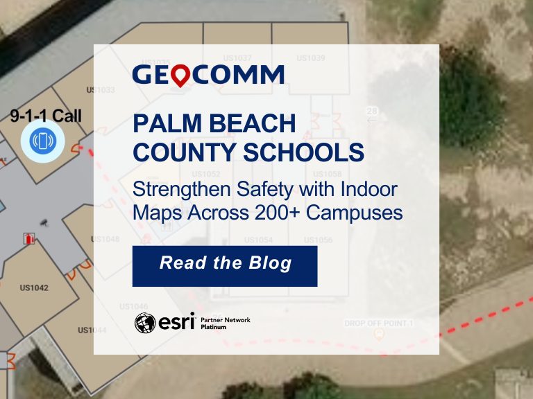
Palm Beach County Schools Strengthen Safety with Indoor Maps Across 200+ Campuses

Ensuring safety across a large school district requires more than traditional emergency plans. For the Palm Beach County School District, the tenth-largest school district in the United States, protecting students and staff means preparing for emergencies across hundreds of campuses and thousands of buildings. To strengthen situational awareness and emergency response, the district partnered with GeoComm to implement a…

GeoComm and Unknot.id Partner to Deliver Advanced Indoor Location Intelligence for Public Safety and Enterprise Environments

ST. CLOUD, Minn. and ORLANDO, Fla., April 14, 2026 – GeoComm and Unknot.id have partnered to bring public-safety-grade indoor location capabilities to public safety and enterprise environments where reliable, highly accurate maps and indoor positioning are mission critical. By extending trusted location awareness indoors, the partnership helps responders and facility teams navigate complex buildings more…

ZeroEyes and GeoComm Partner to Enhance Iowa School Safety with Advanced AI Gun Detection and Intelligent Mapping

ZeroEyes, the creators of the only AI-based gun detection video analytics platform that holds the US Department of Homeland Security Safety Act Designation, and GeoComm, the provider of locally authoritative indoor and outdoor Geographic Information Systems (GIS), today announced a technology integration partnership to enhance emergency response and school safety. This collaboration merges ZeroEyes' AI gun detection and situational awareness software with GeoComm's comprehensive indoor mapping solutions to provide real-time, actionable intelligence to any Iowa K-12 schools.

Become a GeoComm Partner

The GeoComm partner network represents a diverse range of industry-leading companies with complementary technologies, solutions and services.