Indoor Maps|geoid1_lg

Meet GeoComm at APCO 2025 | Booth #2438

Powering Safer Response with Location Intelligence

Join Us in Baltimore to Explore How Smart Maps Accelerate Emergency Response

Celebrating 30 Years of GIS Innovation

GeoComm 30th Logo at NENA 2025

Visit Us at our APCO 2025 Booth #2438

Explore our latest innovations in indoor mapping, NG9-1-1 readiness, and real-time situational awareness.
  • See our latest in GIS technology
  • Meet product and solution experts
  • Learn how GIS data elevates indoor maps during emergency response
  • Grab exclusive GeoComm giveaways
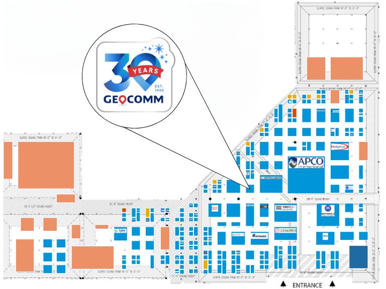
GeoComm APCO 2025 Floor Plan

Meet the Experts

Connect with the GIS experts behind the tech to book time with your regional representative.

Senior Territory Sales Manager

Senior Territory Sales Manager

Territory Sales Manager

Territory Sales Manager

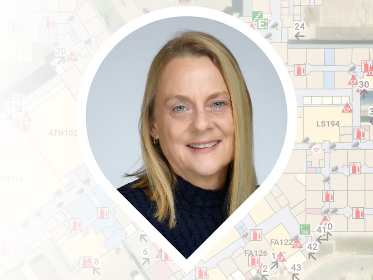
Stacen Gross NENA 2025
Susan Nelson NENA 2025
Tyler Gross NENA 2025
Kevin O'Connell NENA 2025

Showcasing Smarter 9-1-1 Solutions to Work Smarter, Collaborate Better, and Save Time

A suite of solutions and services focused on reducing complexity, improving efficiency, and ensuring the highest standards in GIS data.

Reduce the complexity of GIS data management with seamless accuracy, quality control checks, and more.

Easily navigate your GIS data, whether you’re a beginner or expert.

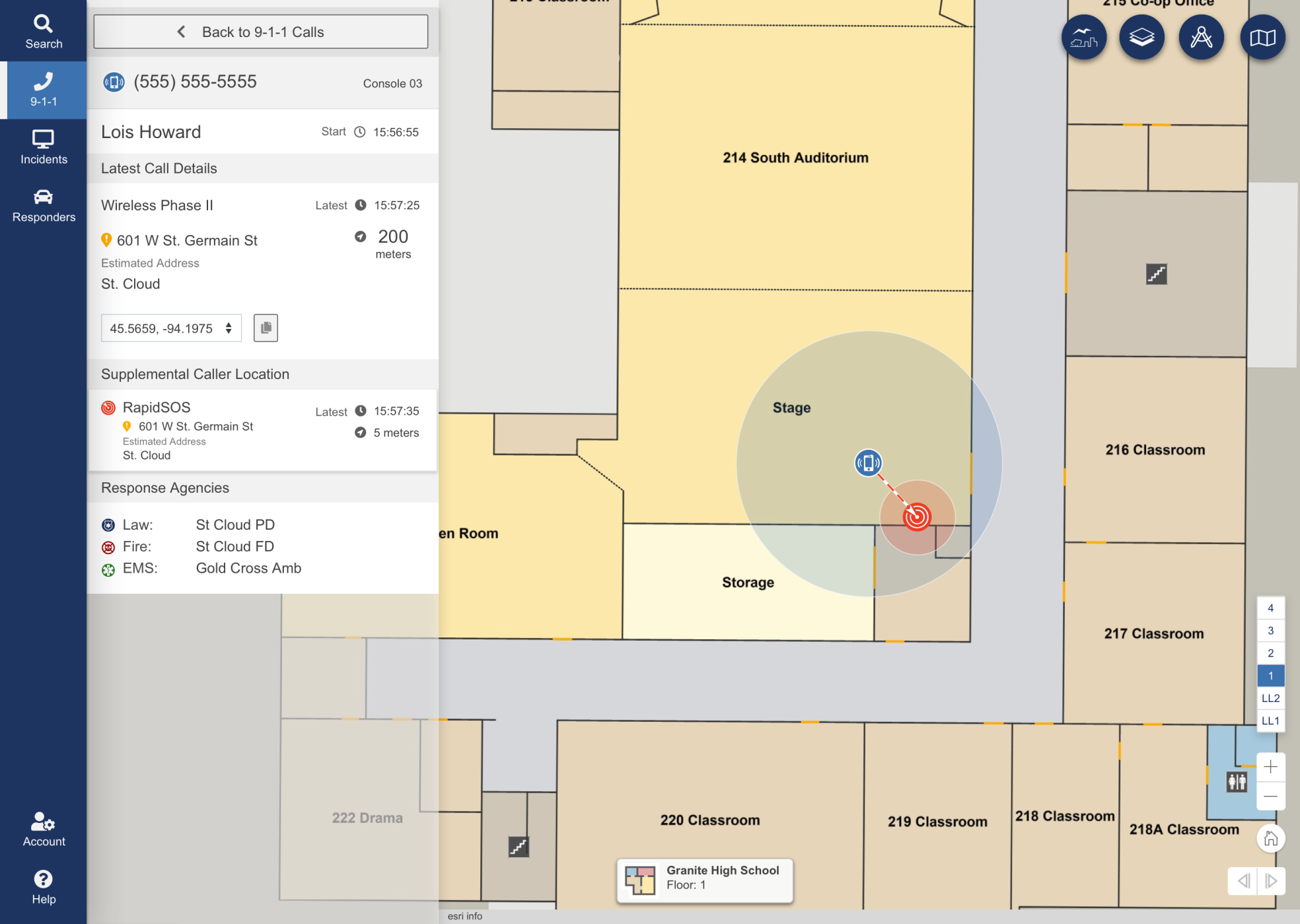
Turn floor plans into interactive maps for smarter, faster decisions in any situation.

Unlock responsive visual representations of your school for enhanced emergency response and planning.

Designed specifically for 9-1-1 call taking and emergency incident response and collaboration.

Designed to meet stringent and demanding requirements of mission critical emergency response GIS.

Vertical Precision. Faster Response. Identify 9-1-1 calls with building, floor, and room-level accuracy.

Confident Male Data Scientist Works on Personal Computer Wearing a Headset in Big Infrastructure Control and Monitoring Room. Map Surveillance of People Walking on City Streets
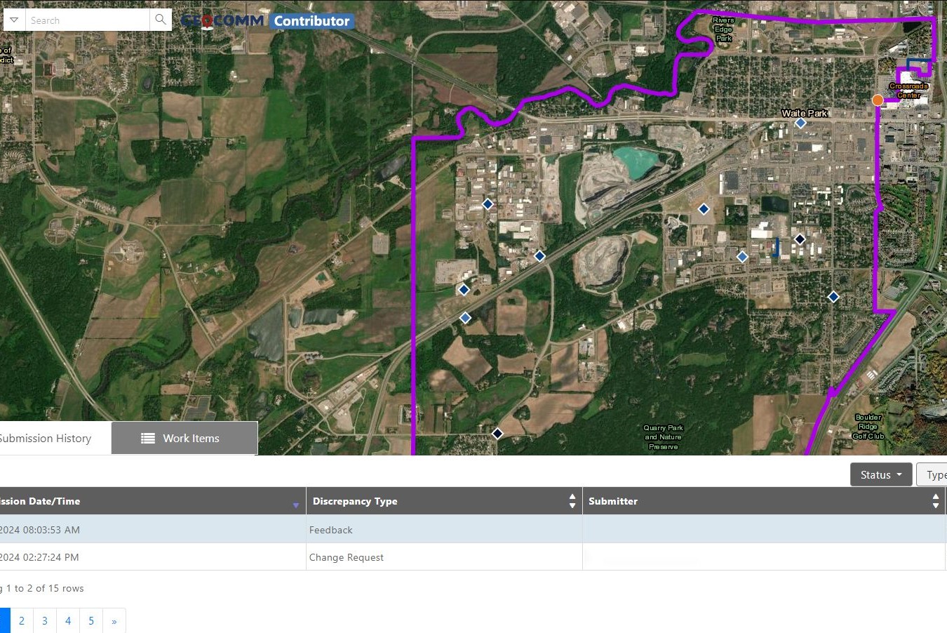
Contributor-Map
College students walking to class
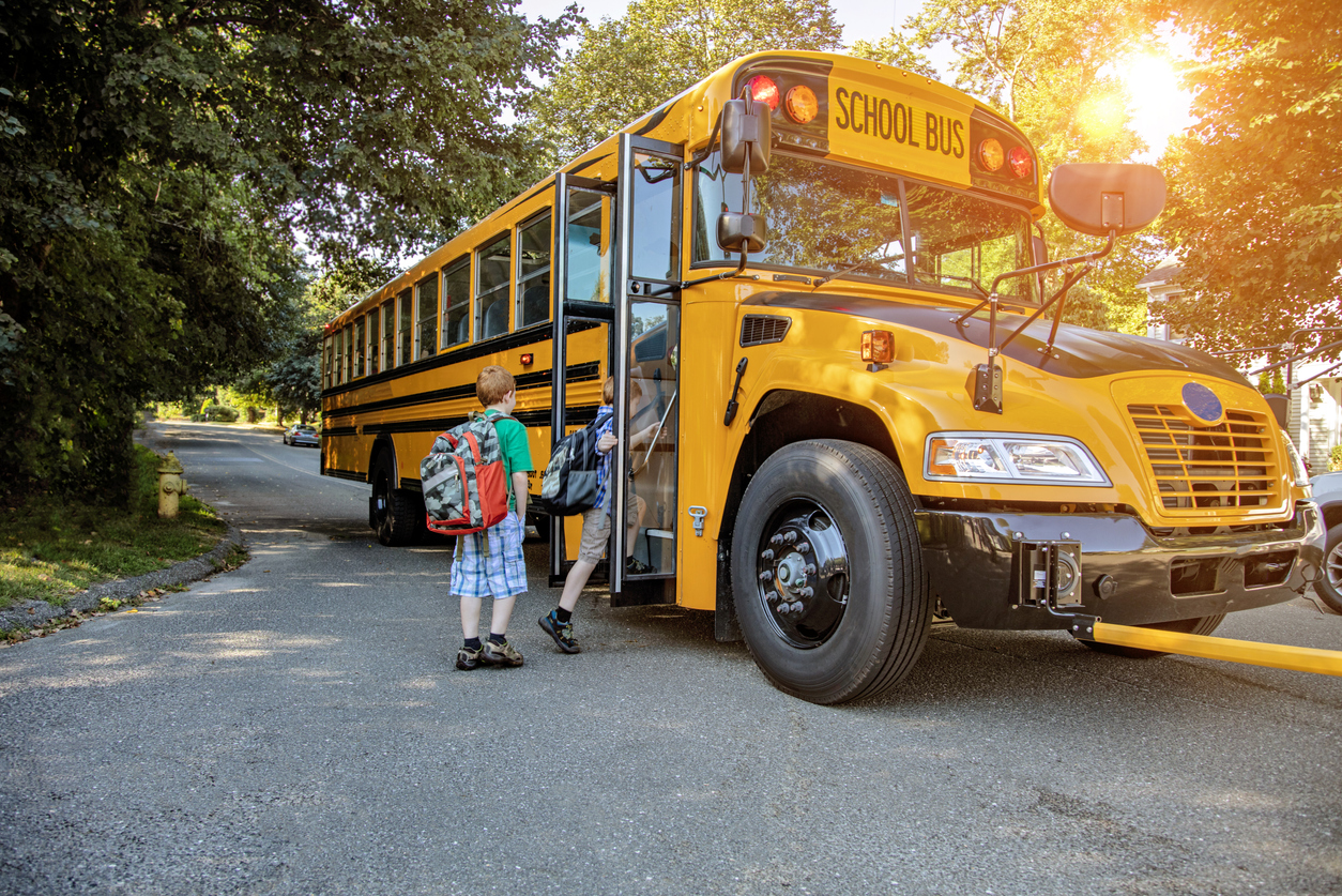
A young boy getting onto a school bus in sunshine
Ambulance
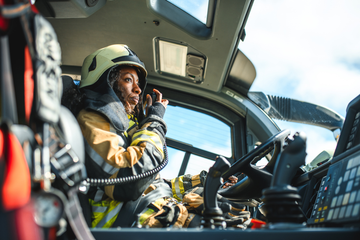
Female Firefighter Using A CB Station In A Firetruck
Chicago Urban Skyscrapers USA

Ready to Connect at APCO?

Stop by Booth #2438

GIS Resources

Comprehensive School Safety Plan California: What Every School Needs to Know

School safety is one of the most important responsibilities of California educators and administrators. From natural disasters to campus threats, every school must be ready to protect students and staff. That’s why the Comprehensive School Safety Plan California (CSSP) requirement exists. Every public K–12 school in the state must have a CSSP that is updated…

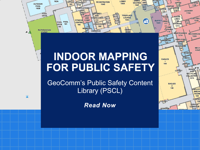
Indoor Mapping for Public Safety: GeoComm’s Public Safety Content Library (PSCL) 

At GeoComm, innovation meets impact. A great example of this is our groundbreaking Public Safety Content Library (PSCL). Designed to revolutionize how 9-1-1 telecommunicators, dispatchers, and emergency responders can access and use critical indoor mapping during emergencies to reduce response times, PSCL is a secure, cloud-based indoor map data warehouse purpose-built for public safety.  What…

Maryland School Mapping Data Requirements and SB 540 Grant Explained

Why Maryland Is Taking Action on School Mapping Data In a continued effort to enhance school safety, the state of Maryland has introduced groundbreaking legislation designed to provide Maryland school mapping data to every public school with detailed, accurate, and interoperable facility maps. With the passage of Senate Bill 540 (SB 540), Maryland schools are…