Indoor Maps|geoid1_lg

Meet GeoComm at NENA 2025 | Booth #625.

Powering Safer Response with Location Intelligence

Join Us in Long Beach to Explore How Smart Maps Accelerate Emergency Response

Celebrating 30 Years of GIS Innovation

GeoComm 30th Logo at NENA 2025

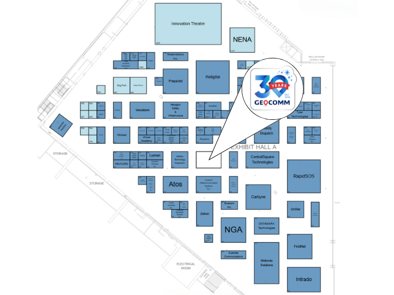
Visit Us at our NENA 2025 Booth #625

Explore our latest innovations in indoor mapping, NG9-1-1 readiness, and real-time situational awareness.
  • See our latest in GIS technology
  • Meet product and solution experts
  • Learn how GIS data elevates indoor maps during emergency response
  • Grab exclusive GeoComm giveaways
NENA 2025 GeoComm Floorplan
Don’t Miss our Breakout Session

Elevating Emergency Services: Integrating Z-Axis and Indoor Mapping for 911 Systems

  • Presented by Keri Brennan GeoComm, Subject Matter Expert
  • Monday, June 23 at 2:45 p.m. in 101B
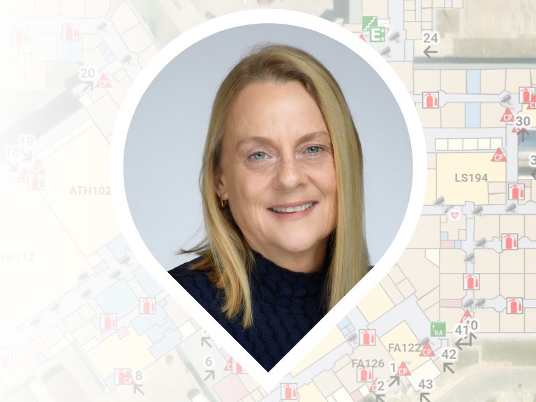
Keri Brennan NENA 2025 Breakout Session

Meet the Experts

Connect with the GIS experts behind the tech to book time with your regional representative.

Senior Territory Sales Manager

Senior Territory Sales Manager

Territory Sales Manager

Territory Sales Manager

Stacen Gross NENA 2025
Susan Nelson NENA 2025
Tyler Gross NENA 2025
Kevin O'Connell NENA 2025

Showcasing Smarter 9-1-1 Solutions to Work Smarter, Collaborate Better, and Save Time

A suite of solutions and services focused on reducing complexity, improving efficiency, and ensuring the highest standards in GIS data.

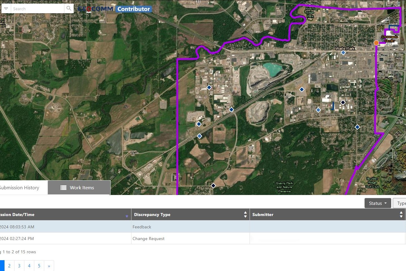
Reduce the complexity of GIS data management with seamless accuracy, quality control checks, and more.

Easily navigate your GIS data, whether you’re a beginner or expert.

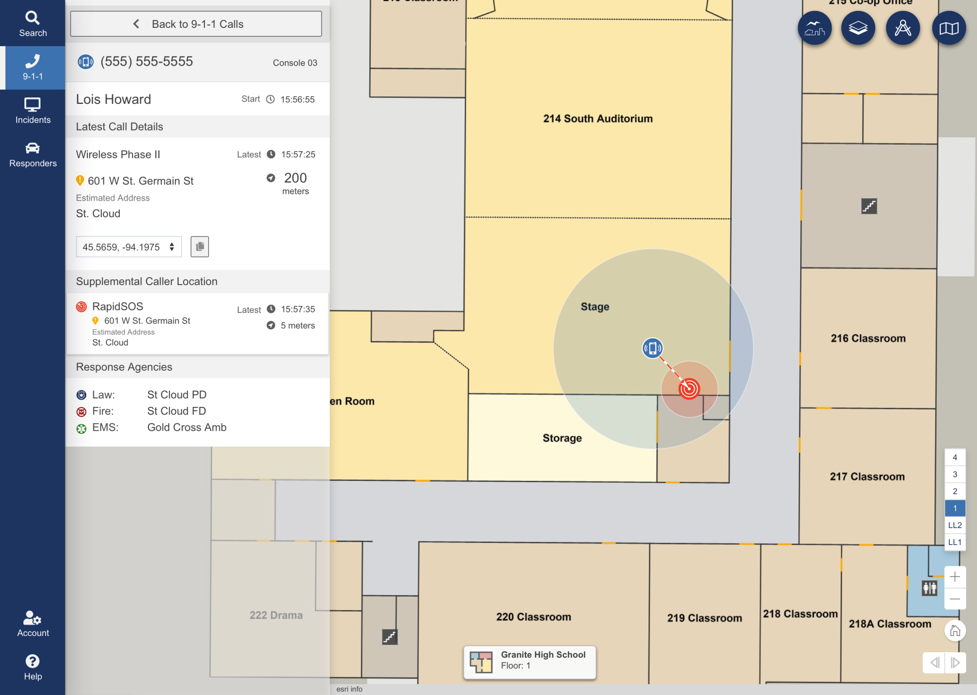
Turn floor plans into interactive maps for smarter, faster decisions in any situation.

Unlock responsive visual representations of your school for enhanced emergency response and planning.

Designed specifically for 9-1-1 call taking and emergency incident response and collaboration.

Designed to meet stringent and demanding requirements of mission critical emergency response GIS.

Vertical Precision. Faster Response. Identify 9-1-1 calls with building, floor, and room-level accuracy.

Confident Male Data Scientist Works on Personal Computer Wearing a Headset in Big Infrastructure Control and Monitoring Room. Map Surveillance of People Walking on City Streets
Contributor-Map
College students walking to class
A young boy getting onto a school bus in sunshine
Ambulance
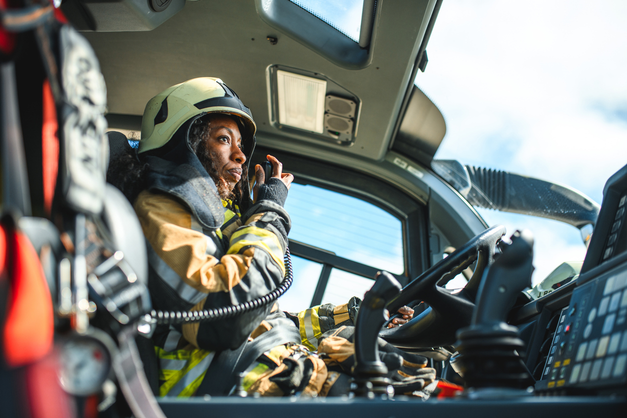
Female Firefighter Using A CB Station In A Firetruck
Chicago Urban Skyscrapers USA

Ready to Connect at NENA?

Stop by Booth #625

Have Questions? We’re Here to Help


By completing and submitting the form, I acknowledge GeoComm’s Privacy Policy.

School Safety Resources

Don’t Wait for Data to Break: Manage Your GIS Data Proactively

Benjamin Franklin once observed, “Failing to plan is planning to fail.” While the origin of this quote is debated, its relevance remains indisputable—especially in the world of public safety. When it comes to 9-1-1 GIS data management, the message is clear: waiting for problems to appear before addressing them can have serious, even life-threatening, consequences. …

School Emergency Preparedness: Hidden Gaps That Delay Effective Response 

When we think of school emergency preparedness, the focus is often on the visible: drills, locked doors, communication protocols, and security personnel. But behind these measures are hidden gaps—vulnerabilities that only surface during a critical incident exposes them. These oversights can mean the difference between a coordinated response and a chaotic scramble.  Why School Emergency…

Why GIS Data Goes Out of Date Fast – And How Public Safety Agencies Can Keep It Current

Why GIS Data Becomes Outdated — Especially in Public Safety How quickly does Public Safety GIS data go out of date? The answer is… almost immediately!  Let’s look at why this is the case, what the impacts to public safety are, and why effective GIS data management practices can ensure that your public safety GIS…