Home > Public Safety > NSGIC 3DEP FTN Interest Group Meeting
FacebookLinkedInXPinterestEmail
Dark Mode

NSGIC 3DEP FTN Interest Group Meeting

March 25, 2025

GeoComm Vertical Location Services: Enhancing Emergency Response with 3D Elevation Data

When every second counts, knowing where an emergency caller is located—including their vertical position—is critical for first responders. GeoComm’s Vertical Location Services leverage digital elevation models to provide precise altitude data, helping emergency teams determine the correct floor, underground level, or terrain elevation in any environment.

In a recent National States Geographic Information Council (NSGIC) 3DEP Interest Group Meeting, GeoComm’s Dan Craigie and Keri Brennan explored the power of the U.S. Geological Survey (USGS) 3D Elevation Program (3DEP) in emergency response. By integrating this national dataset, we improve vertical location accuracy for high-rise buildings, remote areas, and subterranean spaces—ensuring responders arrive at the right place, faster.

📽️ Watch the full discussion and learn how vertical location data is transforming emergency response: Watch the video.

March 31, 2025

GIS Resources

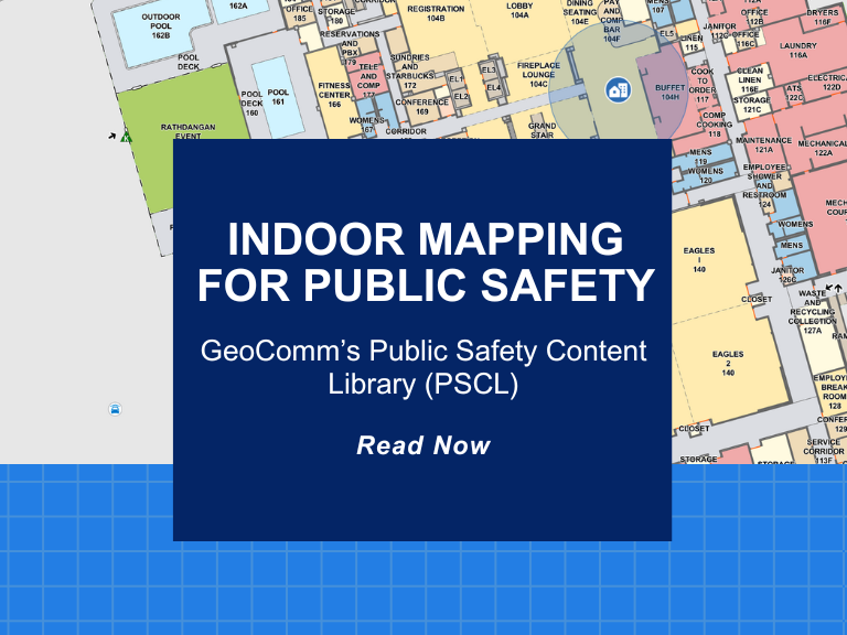
Indoor Mapping for Public Safety: GeoComm’s Public Safety Content Library (PSCL) 

At GeoComm, innovation meets impact. A great example of this is our groundbreaking Public Safety Content Library (PSCL). Designed to revolutionize how 9-1-1 telecommunicators, dispatchers, and emergency responders can access and use critical indoor mapping during emergencies to reduce response times, PSCL is a secure, cloud-based indoor map data warehouse purpose-built for public safety.  What...

Don’t Wait for Data to Break: Manage Your GIS Data Proactively

Benjamin Franklin once observed, “Failing to plan is planning to fail.” While the origin of this quote is debated, its relevance remains indisputable—especially in the world of public safety. When it comes to 9-1-1 GIS data management, the message is clear: waiting for problems to appear before addressing them can have serious, even life-threatening, consequences. ...

Why GIS Data Goes Out of Date Fast – And How Public Safety Agencies Can Keep It Current

Why GIS Data Becomes Outdated — Especially in Public Safety How quickly does Public Safety GIS data go out of date? The answer is… almost immediately!  Let’s look at why this is the case, what the impacts to public safety are, and why effective GIS data management practices can ensure that your public safety GIS...