Indoor Maps|geoid1_lg

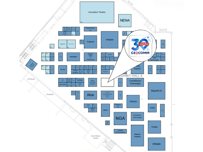
Meet GeoComm at NENA 2025 | Booth #625.

Powering Safer Response with Location Intelligence

Join Us in Long Beach to Explore How Smart Maps Accelerate Emergency Response

Celebrating 30 Years of GIS Innovation

GeoComm 30th Logo at NENA 2025

Visit Us at our NENA 2025 Booth #625

Explore our latest innovations in indoor mapping, NG9-1-1 readiness, and real-time situational awareness.
  • See our latest in GIS technology
  • Meet product and solution experts
  • Learn how GIS data elevates indoor maps during emergency response
  • Grab exclusive GeoComm giveaways
NENA 2025 GeoComm Floorplan
Don’t Miss our Breakout Session

Elevating Emergency Services: Integrating Z-Axis and Indoor Mapping for 911 Systems

  • Presented by Keri Brennan GeoComm, Subject Matter Expert
  • Monday, June 23 at 2:45 p.m. in 101B
Keri Brennan NENA 2025 Breakout Session

Meet the Experts

Connect with the GIS experts behind the tech to book time with your regional representative.

Senior Territory Sales Manager

Senior Territory Sales Manager

Territory Sales Manager

Territory Sales Manager

Stacen Gross NENA 2025
Susan Nelson NENA 2025
Tyler Gross NENA 2025
Kevin O'Connell NENA 2025

Showcasing Smarter 9-1-1 Solutions to Work Smarter, Collaborate Better, and Save Time

A suite of solutions and services focused on reducing complexity, improving efficiency, and ensuring the highest standards in GIS data.

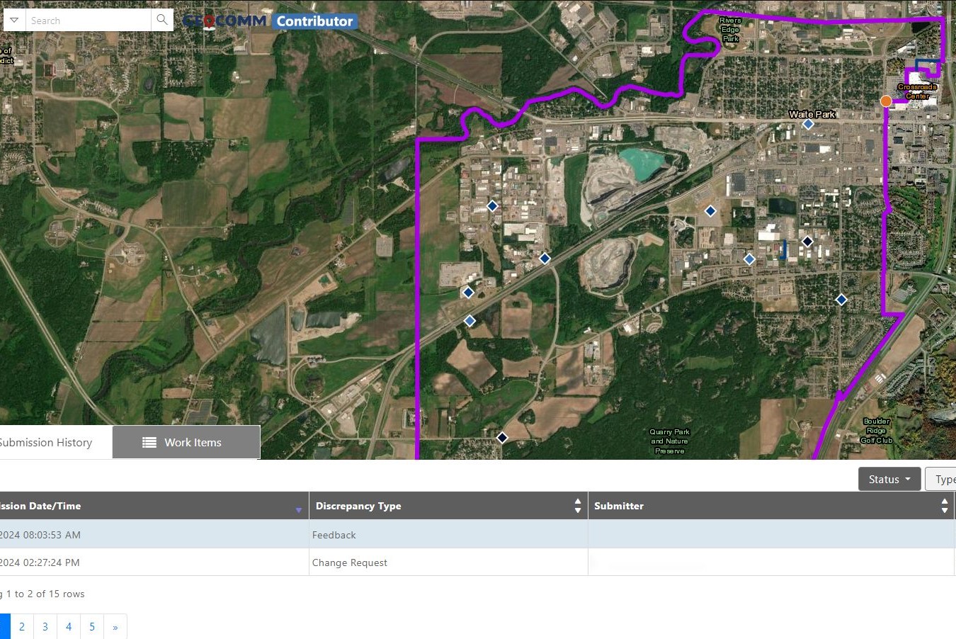
Reduce the complexity of GIS data management with seamless accuracy, quality control checks, and more.

Easily navigate your GIS data, whether you’re a beginner or expert.

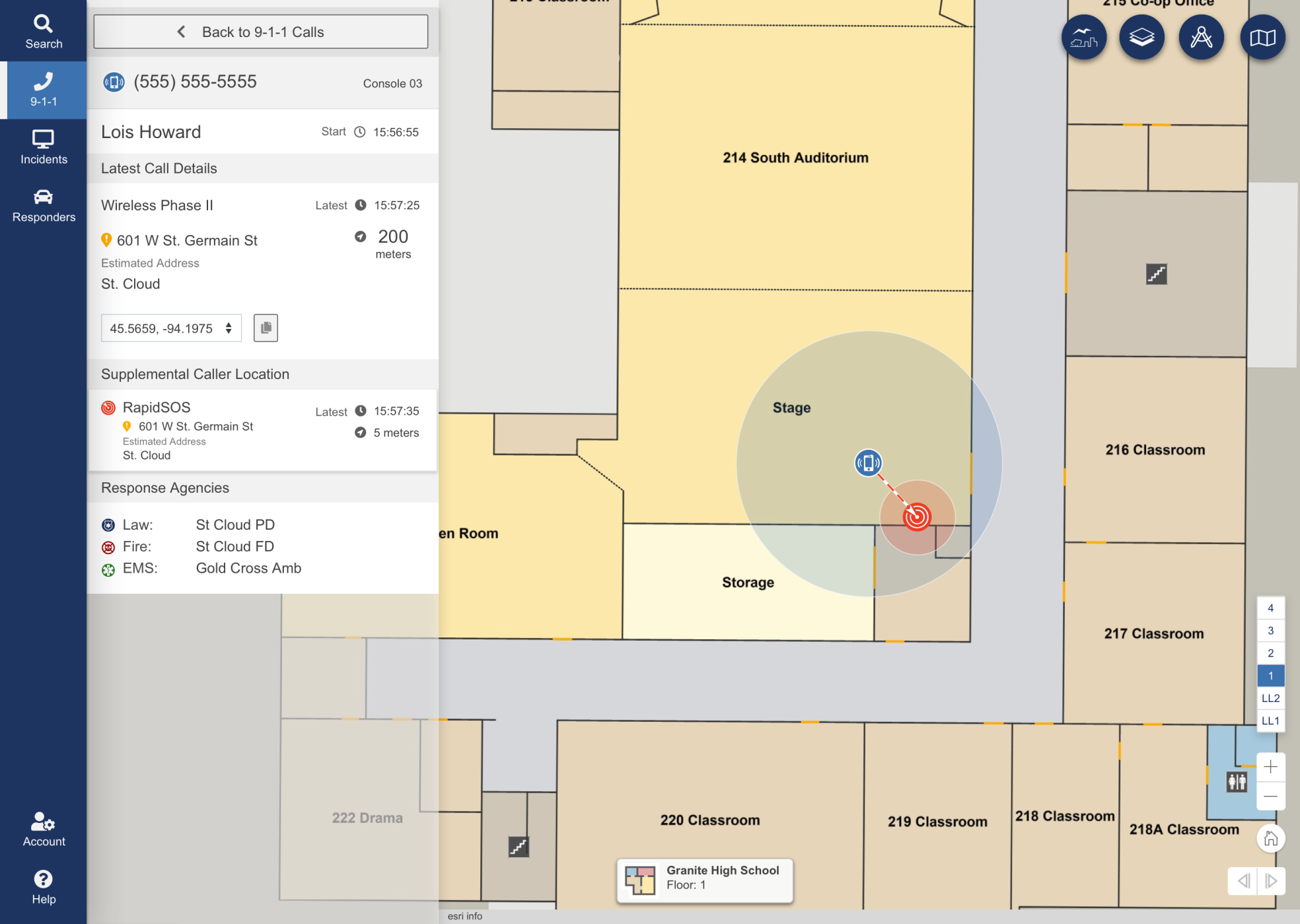
Turn floor plans into interactive maps for smarter, faster decisions in any situation.

Unlock responsive visual representations of your school for enhanced emergency response and planning.

Designed specifically for 9-1-1 call taking and emergency incident response and collaboration.

Designed to meet stringent and demanding requirements of mission critical emergency response GIS.

Vertical Precision. Faster Response. Identify 9-1-1 calls with building, floor, and room-level accuracy.

Confident Male Data Scientist Works on Personal Computer Wearing a Headset in Big Infrastructure Control and Monitoring Room. Map Surveillance of People Walking on City Streets
Contributor-Map
College students walking to class
A young boy getting onto a school bus in sunshine
Ambulance
Female Firefighter Using A CB Station In A Firetruck
Chicago Urban Skyscrapers USA

Ready to Connect at NENA?

Stop by Booth #625

Have Questions? We’re Here to Help


By completing and submitting the form, I acknowledge GeoComm’s Privacy Policy.

School Safety Resources

Where Insights Meet Action: Mapping at the Core of Public Safety Technology

At IWCE 2026, TJ Kennedy of GeoComm delivered a powerful keynote on why trusted, real-time location intelligence is essential to the future of public safety. As emergency response continues to evolve, accurate indoor and outdoor location data is becoming more important than ever. From strengthening situational awareness to improving responder coordination and supporting faster decision-making,…

How Iowa Built a Statewide School Safety Mapping Program

What does it take to protect every student, teacher, and staff member across an entire state? In Iowa, it started with a shared vision and the right partnerships to bring it to life. Through collaboration between state leaders, local school districts, GeoComm, and technology partner Esri, Iowa launched a first-of-its-kind statewide school safety mapping program….

Bixby Public Schools Strengthens Emergency Preparedness With GeoComm’s School Safety Mapping Technology

St. Cloud, MN, February 16, 2026: Bixby Public Schools in Bixby, Oklahoma has partnered with GeoComm to implement districtwide school safety mapping across its 10 campuses, covering over 1.7 million square feet and supporting over 7,000 students. As one of the fastest -growing school districts in the state, Bixby Public Schools faced growing complexity in…