
Bring GIS Data Expertise to your Agency
- Our experts are your people Save time and resources with GIS expert support – from identifying errors and data gaps to optimizing processes. We tackle the heavy lifting.
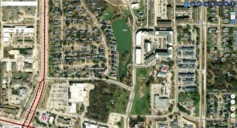
- Achieve GIS data excellence Enhance your on-going data quality with standardization, deduplication, normalization and more to meet public safety requirements.

GIS Data Maintenance Services for Every Challenge
Free up resources, accelerate projects, and be confident in your GIS data.
- GIS expert support
- Save time and resources
- Comprehensive GIS data review and analysis
- Identify data errors and gaps
Lean on Our Team to do the Heavy Lifting
Our ongoing GIS data maintenance services provide the insights, tools, and support your team needs to achieve and sustain public safety data excellence.

“GeoComm GIS Services have transformed our data quality. We had errors in our analysis that they helped us fix, and the final product was better than we could have expected. ”
GIS Resources

Bixby Public Schools Strengthens Emergency Preparedness With GeoComm’s School Safety Mapping Technology
St. Cloud, MN, February 16, 2026: Bixby Public Schools in Bixby, Oklahoma has partnered with GeoComm to implement districtwide school safety mapping across its 10 campuses, covering over 1.7 million square feet and supporting over 7,000 students. As one of the fastest -growing school districts in the state, Bixby Public Schools faced growing complexity in…

GeoComm Featured on WHO 13 News: Advancing School Safety in Iowa
Iowa schools are strengthening emergency preparedness with advanced 9-1-1 mapping and call-forwarding technology designed to give first responders faster, clearer situational awareness when every second matters. Through the statewide Critical Incident Mapping initiative, more than 1,400 schools across Iowa now have access to accurate, up-to-date indoor maps that support improved communication between school staff, 9-1-1…
2026 Texas DIR Contract and Pricing
GeoComm, a leading provider of geographic information and communication systems, has been awarded a Texas Department of Information Resources (DIR) contract DIR-CPO-4499 for GeoComm’s public safety software.