


Work Smarter, Collaborate Better, and Save Time
A suite of solutions and services focused on reducing complexity, improving efficiency, and ensuring the highest standards in GIS data.
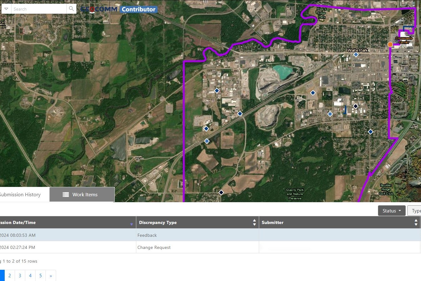
Reduce the complexity of GIS data management with seamless accuracy, quality control checks, and more.
Easily navigate your GIS data, whether you’re a beginner or expert.
From hosting to seamless updates, we fully manage and integrate your GIS data.
From one-time services to ongoing maintenance, we bring your GIS data to the forefront.


“Thanks to GeoComm, we’ve transformed our GIS data to meet NG911 standards, achieving over 99% accuracy statewide.”
99%+
Data Accuracy
Essential Data – Extraordinary Results
Identify and correct errors quickly, keeping your emergency response operations running smoothly.
- Enhanced Data Accuracy
- Simplified Data Management
- Reduced Time and Effort

Data You Won’t Find Anywhere Else
Discover the impact of GeoComm’s GIS Data Management solutions on your community.
GIS Resources

Bixby Public Schools Strengthens Emergency Preparedness With GeoComm’s School Safety Mapping Technology
St. Cloud, MN, February 16, 2026: Bixby Public Schools in Bixby, Oklahoma has partnered with GeoComm to implement districtwide school safety mapping across its 10 campuses, covering over 1.7 million square feet and supporting over 7,000 students. As one of the fastest -growing school districts in the state, Bixby Public Schools faced growing complexity in…

GeoComm Featured on WHO 13 News: Advancing School Safety in Iowa
Iowa schools are strengthening emergency preparedness with advanced 9-1-1 mapping and call-forwarding technology designed to give first responders faster, clearer situational awareness when every second matters. Through the statewide Critical Incident Mapping initiative, more than 1,400 schools across Iowa now have access to accurate, up-to-date indoor maps that support improved communication between school staff, 9-1-1…
2026 Texas DIR Contract and Pricing
GeoComm, a leading provider of geographic information and communication systems, has been awarded a Texas Department of Information Resources (DIR) contract DIR-CPO-4499 for GeoComm’s public safety software.