





Work Smarter, Collaborate Better, and Save Time
A suite of solutions and services focused on reducing complexity, improving efficiency, and ensuring the highest standards in GIS data.
Reduce the complexity of GIS data management with seamless accuracy, quality control checks, and more.
Easily navigate your GIS data, whether you’re a beginner or expert.
From hosting to seamless updates, we fully manage and integrate your GIS data.
From one-time services to ongoing maintenance, we bring your GIS data to the forefront.

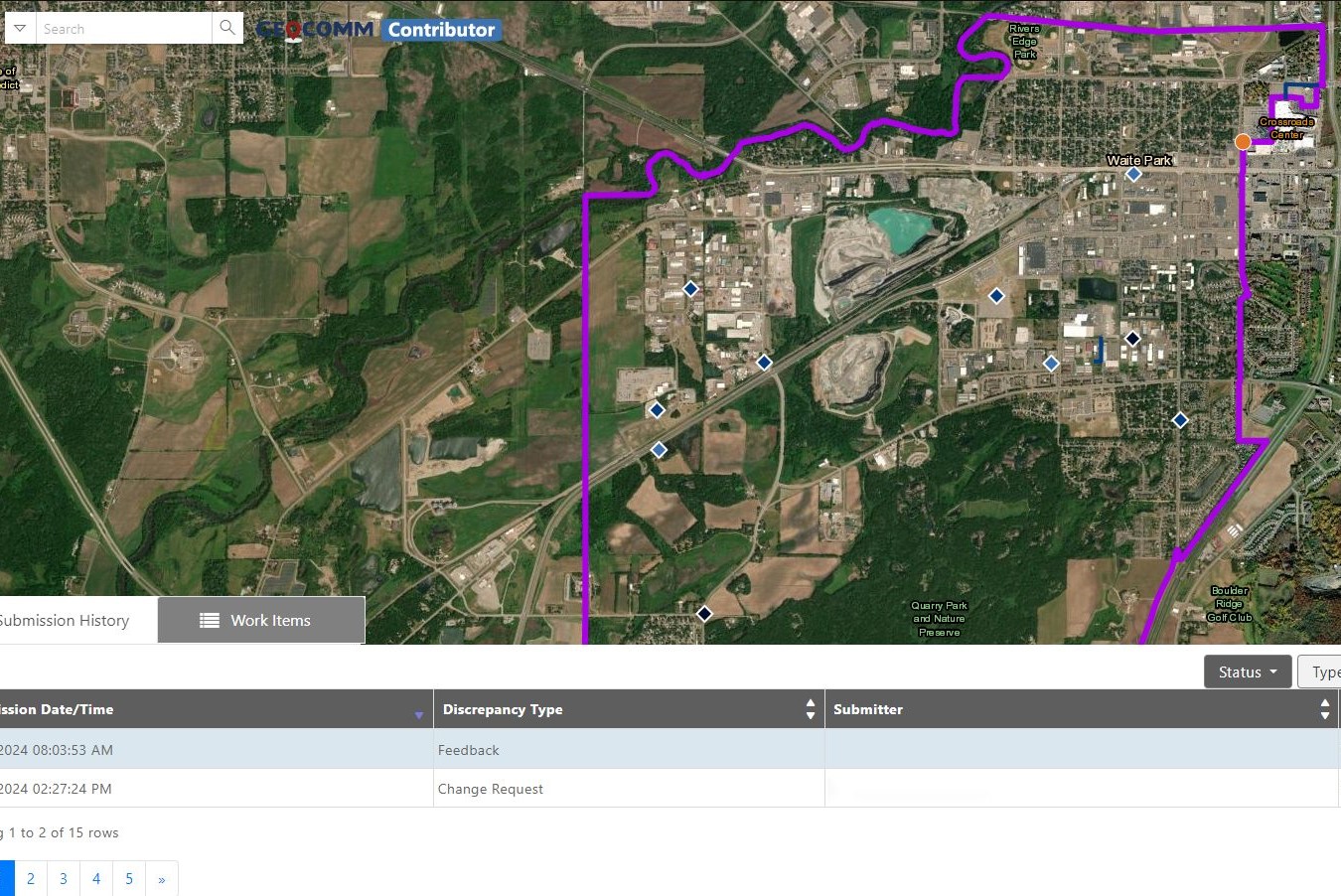


“Thanks to GeoComm, we’ve transformed our GIS data to meet NG911 standards, achieving over 99% accuracy statewide.”

“With GeoComm GIS Data Hub, we have complete clarity on what is missing with our address points, road centerlines, and service boundaries.”

Essential Data – Extraordinary Results
Identify and correct errors quickly, keeping your emergency response operations running smoothly.
- Enhanced Data Accuracy
- Simplified Data Management
- Reduced Time and Effort

Data You Won’t Find Anywhere Else
Discover the impact of GeoComm’s GIS Data Management solutions on your community.
Resources
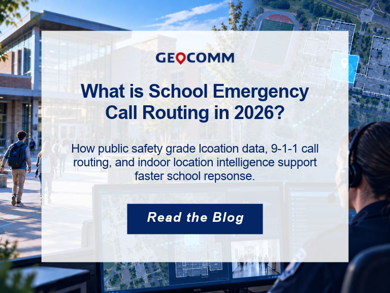
What Is School Emergency Call Routing in 2026?
When a 9-1-1 call is made from a school, knowing the campus address is only part of the challenge. Dispatchers and first responders also need to understand where on the campus help is needed. School emergency call routing combines 9-1-1 location information, GIS data, and emergency communications technology to help connect an emergency call with…
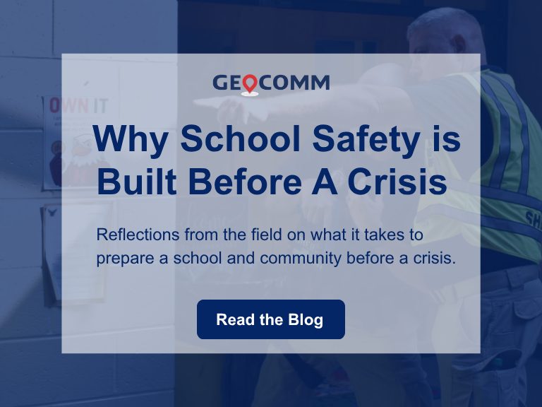
Why School Safety is Built Before a Crisis
By Rose Bentley, Chief Operating Officer, GeoComm Last week, I stood inside an elementary school in Georgia and watched a community put months of preparation into practice. In that moment, our work felt very different than lines on a screen, GIS data, or a completed project. It became real. The school was Harmony Elementary. Earlier…
AI Needs GIS
By John Brosowsky, SVP of Innovation, GeoComm Artificial intelligence is rapidly reshaping PSAP operations. From handling non-emergency calls to enabling real-time 9-1-1 transcription, translation, keyword detection, and call taker assistance, AI is becoming an integral part of modern emergency communications. But AI is not inherently intelligent; it identifies patterns and relationships within the information it has been trained on…
