Home > Featured > GeoComm Featured on KTLA 5 News: Advancing the Future of 9-1-1 Response
FacebookLinkedInXPinterestEmail
Dark Mode

GeoComm Featured on KTLA 5 News: Advancing the Future of 9-1-1 Response

GeoComm was recently spotlighted by KTLA 5 News in a segment highlighting the innovative technologies shaping the future of 9-1-1 and emergency response.

The story showcases how GeoComm’s indoor mapping solutions are transforming emergency response by providing first responders with fast, accurate, and actionable location information. At the 2:08 mark, GeoComm’s Vice President of Sales and Marketing, William McCullough, shares insights on how this cutting-edge technology empowers public safety agencies to respond with greater speed and clarity.

Watch the full KTLA segment: https://www.youtube.com/watch?v=vMAENQT7QN8

As public safety continues to evolve, GeoComm remains committed to delivering industry-leading location intelligence that helps save lives and protect property. Our indoor maps are a critical component of Next Generation 9-1-1 (NG9-1-1), school safety, and emergency preparedness strategies nationwide.

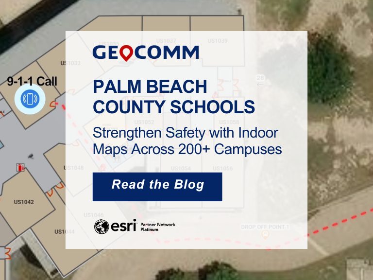
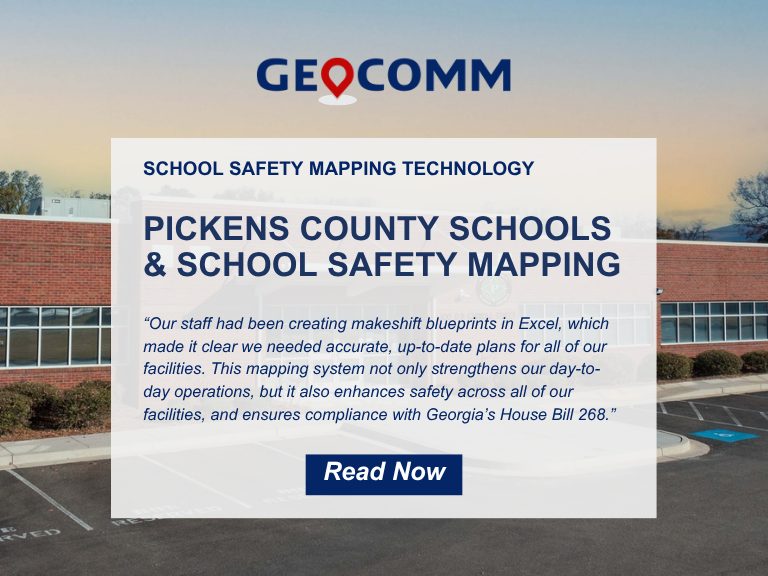
Learn more about GeoComm School Safety mapping

Contact us to schedule a meeting with one of our regional representatives

July 01, 2025

GIS Resources

Don’t Wait for Data to Break: Manage Your GIS Data Proactively

Benjamin Franklin once observed, “Failing to plan is planning to fail.” While the origin of this quote is debated, its relevance remains indisputable—especially in the world of public safety. When it comes to 9-1-1 GIS data management, the message is clear: waiting for problems to appear before addressing them can have serious, even life-threatening, consequences. ...

School Emergency Preparedness: Hidden Gaps That Delay Effective Response 

When we think of school emergency preparedness, the focus is often on the visible: drills, locked doors, communication protocols, and security personnel. But behind these measures are hidden gaps—vulnerabilities that only surface during a critical incident exposes them. These oversights can mean the difference between a coordinated response and a chaotic scramble.  Why School Emergency...

Why GIS Data Goes Out of Date Fast – And How Public Safety Agencies Can Keep It Current

Why GIS Data Becomes Outdated — Especially in Public Safety How quickly does Public Safety GIS data go out of date? The answer is… almost immediately!  Let’s look at why this is the case, what the impacts to public safety are, and why effective GIS data management practices can ensure that your public safety GIS...